The Latest
-
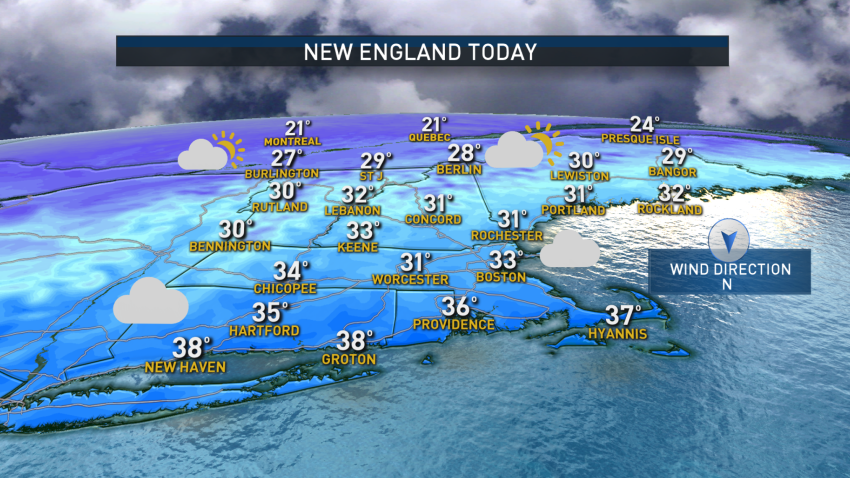
Region Gears Up for 2 Potential Storm Systems This Week
A light, messy, wintry mix will stick around through at least late morning and perhaps extending into the afternoon. Accumulations of ice and snow will be minor. Temperatures will reach the freezing mark in most communities. We will temporarily dry out Sunday afternoon through Monday morning. The next system will arrive Monday night. A burst of snow will change to…
-
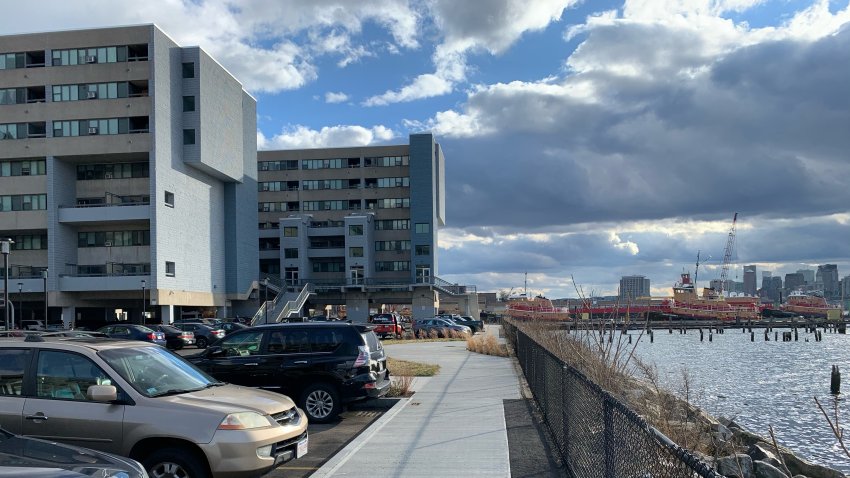
Climate Change Threatens Homes of Boston's Most Vulnerable
Roxanne De Jesus remembers seeing the waves spill out of the harbor in East Boston. A nor’easter — that grew in force so suddenly it was dubbed a “bomb cyclone” — pushed tides as high as Boston has seen in nearly a century. “For the first time, we saw the water come out of the harbor,” she said. It was…
-
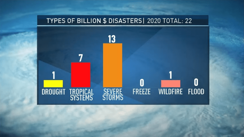
2020 Ties With 2016 for Hottest Year on Record
Last year ended up being tied for the warmest year on record globally, according to the World Meteorological Organization.
-
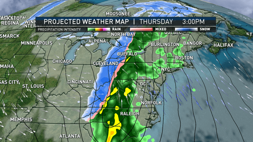
No White Christmas But Heavy Rain and Winds Expected
This time of year with temperatures into the 40s, we typically don’t see a lot of snow melt. Even with temperatures above freezing the ground is below 32 degrees and that helps keep the base of the snow intact. It also helps that we have a limited amount of daylight during the day and that December sun angle is very…
-
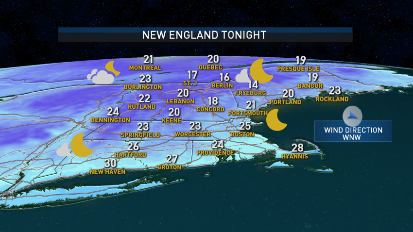
Snow in the Mountains Wednesday, Sunshine and Warmth Return Later This Week
Some of the areas that were warm, wet and windy during Saturday’s nor’easter saw their first flakes of the season on Tuesday morning. With cold air moving over “warmer” water, you see ocean effect showers. It was cold enough for that precipitation to fall in the form of snow. Most totals ranged from 0.5 to 1.5 inches. As a warm…
-
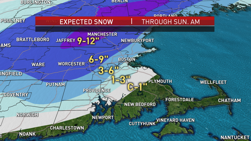
Rain and Spots of Heavy Snow From Nor'easter Recede; Thousands of Power Outages in Mass.
A quickly strengthening storm continues to impact New England, and now we’re approaching the time when steady and heavy rain turns to steady and heavy snow for many.
-
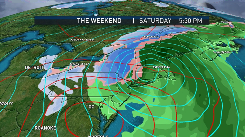
Rain and Snow Showers Wednesday Evening Precede Weekend Storm System
The day started off with sunshine but will finish with some clouds, rain and snow showers. A few heavier snowsqualls moved through parts of New England. Thursday will be the pick of the week — temperatures will moderate slightly and the day will feature mostly sunny skies. Highs will reach the upper 40s and low 50s. Friday will start off…
-
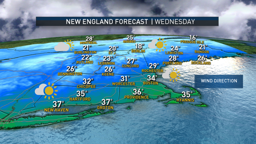
Quieter Weather Pattern Moves Through New England With Mix of Sun and Clouds
For the next couple of days, we expect quieter weather. We will see a mix of sun and clouds, but with several upper-level disturbances moving through we could see rain or snow showers almost any day through Thursday. Friday will be the calm before our next storm. Models don’t have a great handle on the next system yet. At...
-
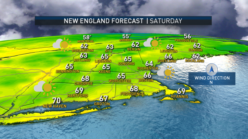
Temperatures Dip Friday Evening; Comfortable Weekend Ahead
If you were outside today and yesterday you’ve probably noticed it’s cooler and less humid. Our air mass will stay comfortable through the weekend. Temperatures tonight in northern New England will drop down into the 30s with 40s and 50s into central and southern New England. Apple picking has started across the region and if your plans take you...
-
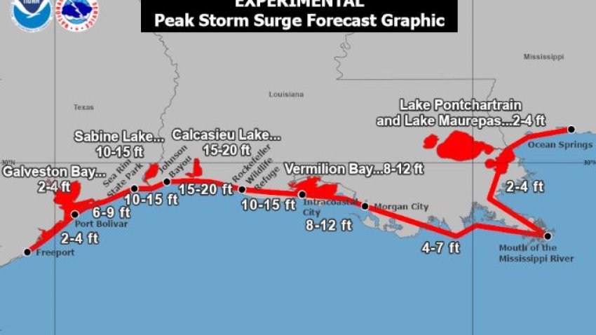
Storm Surges Explained
As Hurricane Laura rapidly intensifies, it’s hitting a portion of the Gulf Coast that is well seasoned when it comes to strong hurricanes. Unfortunately, this storm will not only pack winds over 120 mph, but it will also push a significant storm surge up to 30 miles inland. Imagine that that’s from Boston to several miles past Framingham. Obviously that…

