Monday night: Humid, patchy fog. Lows in the 70s. Tuesday: Hot and humid. Highs in the low 90s, heat index mid 90s. Late storm. Wednesday: Partly cloudy. Scattered rain and storms. Highs in the mid 80s.
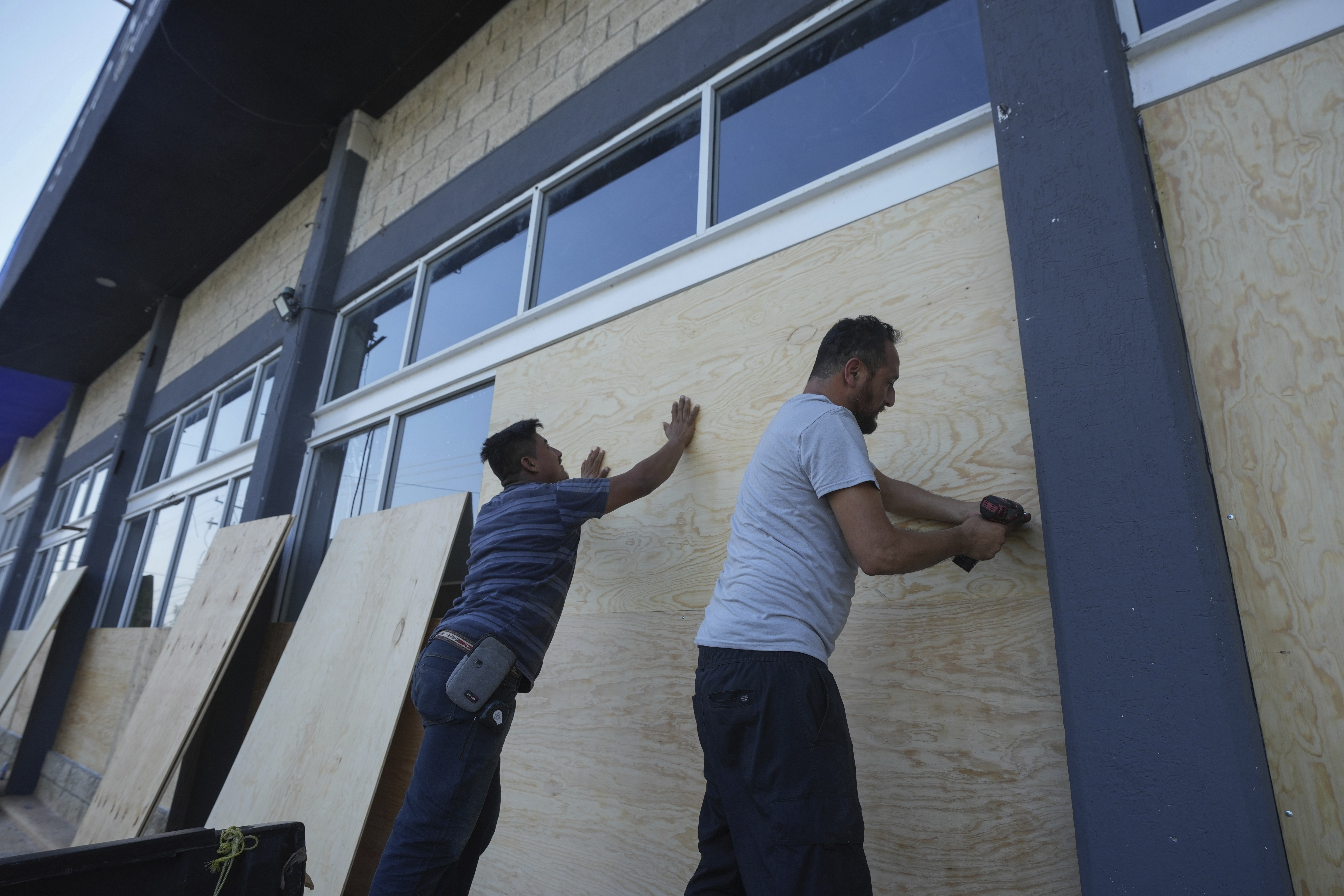
Hurricane Beryl struck the Texas coast early Monday morning, bringing strong winds and heavy rain. The storm made landfall near Matagorda, a barrier island on the Gulf Coast, as a Category 1 hurricane with sustained winds of 80 mph.
As of the 11 a.m. update from the National Hurricane Center, Beryl has weakened slightly and is now a Tropical Storm.
STAY IN THE KNOW
Watch NBC10 Boston news for free, 24/7, wherever you are. |
|
Get Boston local news, weather forecasts, lifestyle and entertainment stories to your inbox. Sign up for NBC Boston’s newsletters. |


The Houston Hobby Airport recently reported a sustained wind of 58 mph and a gust of 84 mph during the morning hours of Monday. Over a million customers were without power as of late morning as crews worked to restore service.
Get top local stories in Boston delivered to you every morning. Sign up for NBC Boston's News Headlines newsletter.
The heaviest rainfall, from 8 to 12 inches, with some locally higher amounts near the coast and extending inland towards Houston and Tyler, will continue to fall through the afternoon. These areas have already experienced significant rainfall this year, raising concerns about flooding. Flash flood warnings are in effect for Houston and surrounding areas. Several tornado warnings have been issued in eastern Texas, and the threat for isolated tornadoes remains on Monday.
Beryl is expected to turn northeast and pick up speed Monday night and Tuesday while continuing to weaken. The storm will move over eastern Texas on Monday before continuing through the Lower Mississippi Valley and into the Ohio Valley by Wednesday.