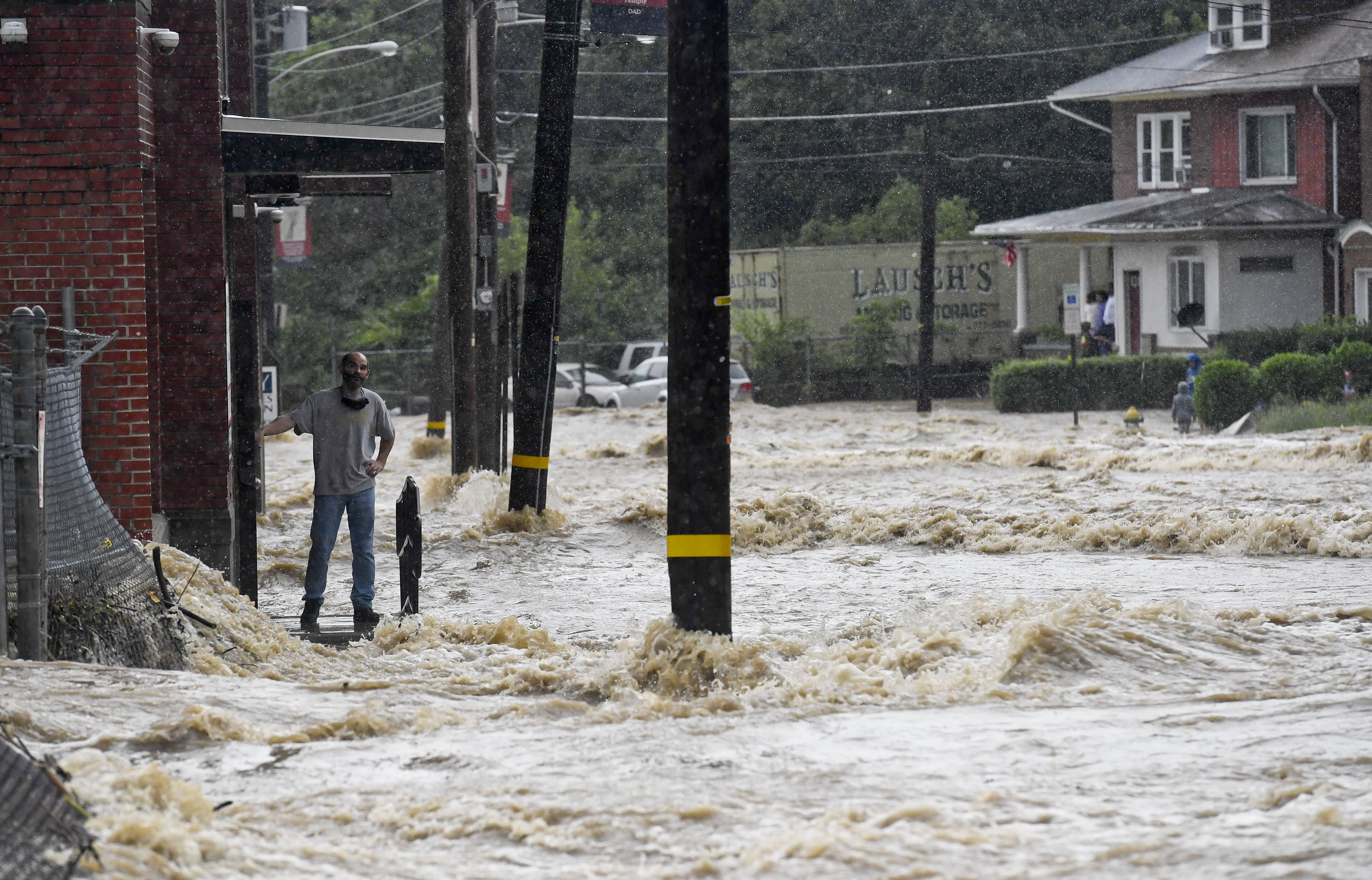
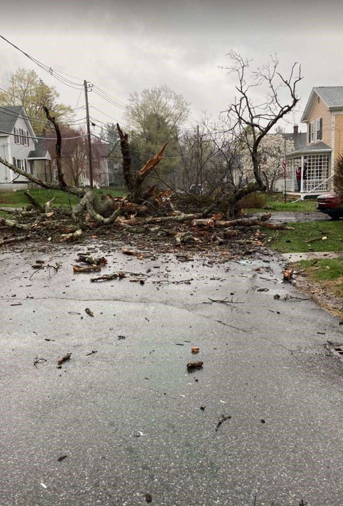
Thunderstorms that threatened powerful winds and 1-inch hail rushed from Connecticut through Maine Wednesday afternoon and evening after a hot day in England.
The National Weather Service issued a slate of watches and warnings for the severe weather, citing thunderstorms that could have generated locally damaging wind gusts in excess of 70 mph and/or 1-inch hailstones. Individual cells were moving west to east at 40-50 mph, and were only expected to last 15-20 minutes in any one location.
WATCH ANYTIME FOR FREE
Stream NBC10 Boston news for free, 24/7, wherever you are. |
See a list of severe weather alerts in your area here.
Though many of us may have missed the storms altogether, some may have gotten several rounds of thunder by midnight.
Get updates on what's happening in Boston to your inbox. Sign up for our News Headlines newsletter.
Our team of meteorologists issued a First Alert Day for Wednesday as we focused on the heat taking hold off New England, with highs into the 90s and some strong storms this afternoon and evening ahead of a cold front moving in from the Great Lakes.
The risk of severe weather was set to begin around or after 2 p.m. in northern New England for Vermont, New Hampshire and western Massachusetts. Any thunderstorms that develop may produce damaging wind gusts and even an isolated tornado.
This line will slowly move south and east, so while we are dodging storms in North Adams, Massachusetts, and Montpelier, Vermont, we are baking in Boston and Providence during the rush hour commute. Showers and storms will approach the Merrimack Valley late afternoon into the early evening hours. As the front slides into southern New England and we lose daytime heating, the risk for severe weather decreases greatly, especially for southeastern Massachusetts, Cape Cod and the Islands.
Behind this front, temperatures gradually drop. Highs Thursday will range between the upper 60s north to 80s south. Then the weather turns gray for the holiday weekend. Clouds move in Friday, and with an onshore flow, highs will be in the 60s.
The front that crossed New England Wednesday night will turn stationary and will try to lift north, meaning southern New England will see an increase in showers on Friday afternoon. This front won’t move much, and it may be too close for comfort, so on both Saturday and Sunday a chance for showers will be in the forecast, and it may linger into Monday, especially for Massachusetts, Connecticut and Rhode Island.
Temperatures stay mostly in the 60s for the Memorial Day weekend. And just in time for your return to work, highs rebound back into the 80s. Perfect timing, Mother Nature!


