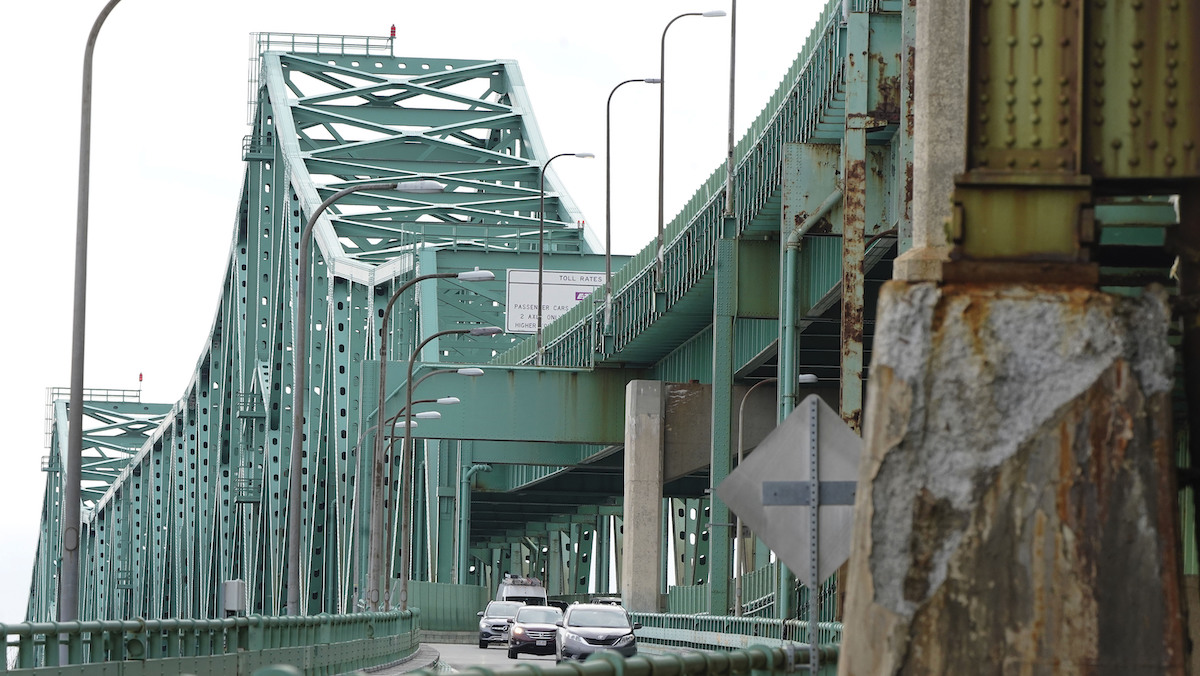
A flash freeze is now occurring across interior Southern New England in places such as Reading, Boston and Brockton as arctic air spills south along a coastal front that has set up across Eastern New England.
A sleet storm continues across Central and Northern Massachusetts. We’re also saw impacts at the coast ahead of the 10:00 a.m. high tide cycle, impacting locations like Scituate Harbor and Dorchester, where Morrissey Boulevard and Exit 14 off Interstate 93 northbound were shut down due to tidal flooding.
Meanwhile, areas in Northern New England will pick up additional snowfall through the afternoon and evening as the low pressure shifts east, bringing totals to more than 12 inches, with Central and Eastern Maine picking up close to two feet. The snow will continue to accumulate through early Monday morning before tapering to snow showers by daybreak.
Sleet and freezing rain will continue falling across interior Southern New England. This will result in an increased threat of power outages across these areas where compacted wet snow, coupled with icing and gusty winds, will add stress to trees and power lines.
This comes right on the heels of earlier temperatures in the 40s to near 50 degrees over Southeastern Massachusetts and coastal Rhode Island.
IMAGES: Nor'easter Blankets New England With Snow, Ice
A rapid drop in temperatures, combined with wet roads left over from Sunday’s rain, will result in a flash freeze, impacting travel into the evening as road crews scramble to re-treat roadways. Additionally, as the system exits, this cold air wrapping around may move in quickly enough to transition precipitation back from rain to a brief period of freezing rain.
Local
In-depth news coverage of the Greater Boston Area.
Across the south, precipitation ends between 5 and 7 p.m. At the coast, expect gusts 40 to 50 mph, with interior gusts to 20 to 40 mph. That, combined with an astronomically high tide thanks to a full moon, will result in minor to moderate coastal flooding during the late morning cycle for east-facing coastlines.
If we are lucky, a few breaks in the clouds will develop in time for the total lunar eclipse tonight.
Crashes Reported Across Region Due to Storm
Looking ahead to the start of the work week, Monday will feature brutal cold with temperatures in the single digits above and below zero for much of the day. Winds will be strong with a few snow showers falling in the White and Green Mountains.
Another storm bringing a mix of rain and snow arrives for the middle of next week on the exclusive First Alert Weather 10-Day Forecast on NBC10 Boston and necn.


