What to Know
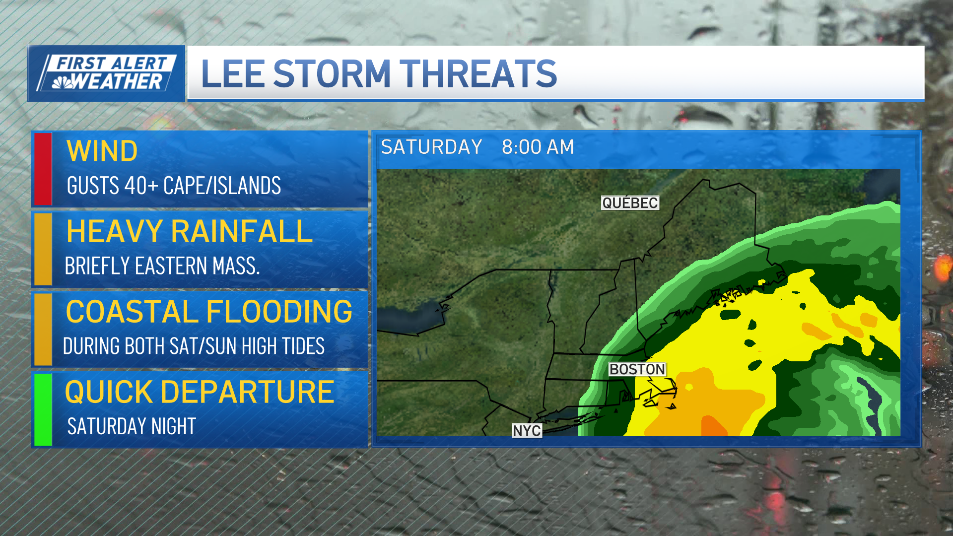
- Hurricane Lee was a Category 2 storm as of Wednesday afternoon, headed north in the direction of the Maine coast, with impacts expected in coastal Massachusetts, Rhode Island and New Hampshire as well
- Part of the eastern Maine coast was under a hurricane watch, much of the rest of New England's coast was under a tropical storm watch and a storm surge watch was issued for Cape Cod Bay and Nantucket
- The hurricane could bring 1-4 inches of rain to eastern New England, which was already dealing with flooding after a series of storms
As Hurricane Lee moved closer to the East Coast Wednesday, a tropical storm watch was issued for most of the New England coast, and a hurricane watch for part of the Maine coast.
WATCH ANYTIME FOR FREE
Stream NBC10 Boston news for free, 24/7, wherever you are. |
Additionally, a storm surge watch was issued for Cape Cod Bay and Nantucket and a tropical storm warning — the step up from a tropical storm watch — was issued for Bermuda.
The watches indicate that the National Weather Service expects that impacts from the storm, which remained a hurricane Wednesday afternoon, could begin affecting the area in two days.
Get updates on what's happening in Boston to your inbox. Sign up for our News Headlines newsletter.
Preparing for Hurricane Lee? Here's what you need to know.
The tropical storm watch stretches from Watch Hill, Rhode Island, up to Stonington, Maine, including Rhode Island's Block Island and Massachusetts' Nantucket and Martha's Vineyard, according to the National Weather Service. From Stonington to the border with Canada, the Maine coast was under a hurricane watch.
As of Wednesday afternoon, Hurricane Lee is expected to maintain its hurricane strength as it travels into the Gulf of Maine Saturday afternoon. The updated forecast cone suggested the storm was not likely to make landfall in any part of New England other than eastern Maine, if at all.
As of 5 p.m. Wednesday, the Category 2 hurricane was located due south of eastern Maine and east of Miami, Florida. It was moving north-northwest at 10 mph, with sustained 105 mph winds and hurricane-force winds that stretched up to 115 mph from the center of the system.
Lee was expected to travel more or less north while slowly weakening — but staying a hurricane into the weekend.
Be prepared for your day and week ahead. Sign up for our weather newsletter.
While Hurricane Lee isn't expected to make landfall in southern New England, the storm surge could be dangerous, especially where it combines with large, destructive waves.
The National Weather Service said the storm could also drop 1-4 inches of rain on eastern New England, which was already reeling from flooding that caused heavy localized damage.


