6/23/24 UPDATE: Click here for our latest weather coverage, covering any tornado warnings issued Sunday in New England.
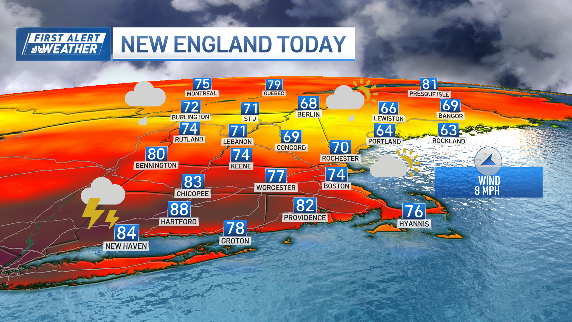
Widespread showers and storms rolled through New England Saturday, with severe thunderstorm warnings in several states, and a tornado warning in Connecticut. Still, there is potential for more significant severe weather to close out the weekend.
WATCH ANYTIME FOR FREE
Stream NBC10 Boston news for free, 24/7, wherever you are. |
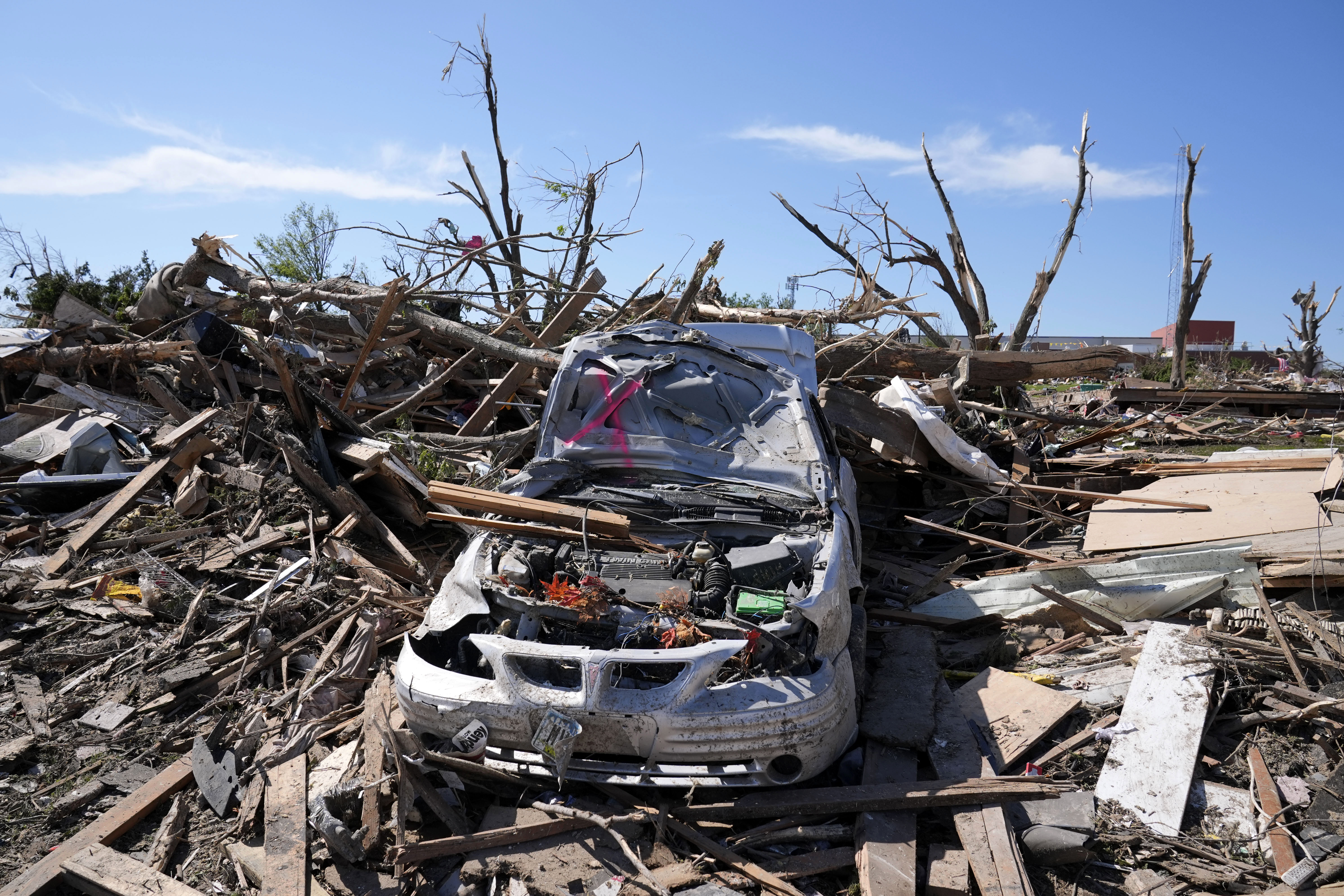
Continuing storms are anticipated Sunday with a strong cold front expected to pass over the region. Damaging winds, localized flash flooding, hail and even a few tornadoes will all be possible.
The greatest storm threat will be between early afternoon and late evening over Vermont and New Hampshire. The earliest storms could start around noon. For Boston, storm chances begin around 2 p.m.
Get updates on what's happening in Boston to your inbox. Sign up for our News Headlines newsletter.


More tornado news
The National Weather Service has said there is a prominent increase in tornado threat for the area Sunday, noting its Storm Prediction Center has circled the elevated tornado risk on its outlook for Sunday.
For central New England, there is a 10% tornado threat within 25 miles of a point -- the highest tornado risk for New England in six years.
Everyone is reminded to stay weather aware, practicing severe weather safety, particularly those who will be outside Sunday, whether camping, boating or otherwise.
Severe storm preparation
Following the National Weather Service's warning about an enhanced risk for severe storms Sunday, the New Hampshire Department of Safety’s Division of Homeland Security and Emergency Management is urging Granite State residents and visitors to prepare now for the possibility of damaging winds, isolated tornadoes, hail, and flash flooding.
“Stay informed to keep you and your family safe,” HSEM Director Robert Buxton said in a press release Saturday night. “Review your family emergency plan now and make sure your emergency kit is stocked. Your kit should include important documents and contact information along with supplies.”
Officials highlighted camping safety, saying that campers should have a way to be aware of changing conditions and be prepared to evacuate to higher ground immediately if flooding occurs. Campers also should have a plan for alterative shelter if needed.
Other safety recommendations from Buxton include:
- Have multiple ways to receive weather alerts. Make sure to monitor storm updates.
- If flooding occurs, get to higher ground immediately. Just 6 inches of moving water can knock you down, and 1 foot of water can sweep your vehicle away.
- If driving in a vehicle, remember the saying, “turn around, don’t drown.”
- If floodwaters rise around your car but the water is not moving, abandon the car and move to higher ground. Do not leave the car and enter moving water. Just 6 inches of water can reach the bottom of most passenger cars causing loss of control and possible stalling.
- Prepare your home: Trim trees that may fall and cause damage.
- Tie down or bring indoors any objects that might be blown around by winds (outdoor furniture, decorations, garbage cans, and other loose objects that are normally left outside).
- Follow instructions from local emergency officials and know how to safely evacuate should you be told to do so.
- Stay on top of road conditions.
Get all severe weather alerts for your area here, and track live radar below:


