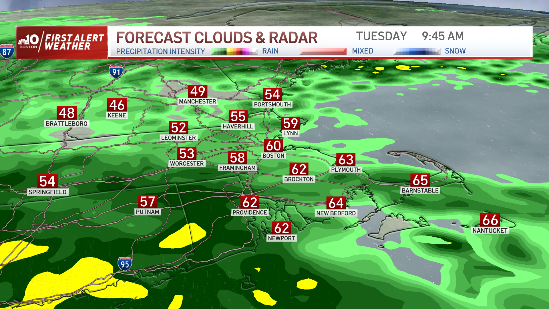
Tuesday's nor'easter is scheduled to bring big wind and waves to New England over the next 24 hours. But making sense of exactly when and where the storm is going to hit can be complicated.
So the National Weather Service worked up this handy, color-coded timeline to show you not only when it will hit, but what type of impact you'll see.
WATCH ANYTIME FOR FREE
Stream NBC10 Boston news for free, 24/7, wherever you are. |
As you can see from the graphic above, rain will continue throughout the day on Tuesday, with the heaviest part of the storm felt on Tuesday night. Heavy rain, flooding and strong to damaging winds that could knock out power are among the possible impacts.
Get updates on what's happening in Boston to your inbox. Sign up for our News Headlines newsletter.
Things will start to quiet down a bit on Wednesday morning, though some heavy rain and flooding potential continues. Wind gusts should also begin to die down.
But don't get too comfortable, because another potential nor'easter is expected to impact the region later this week. Stay tuned to our First Alert Weather Team for the latest details.


