Our eyes are peeled looking for any drop of rain. We’re sitting in our ninth week of drought and chomping at the bit for it any sign of rain. And at this point, it will take rain of significance to break the drought. Which would mean more than six inches of a soaking rain that would need to span several days, not hours.

WATCH ANYTIME FOR FREE
Stream NBC10 Boston news for free, 24/7, wherever you are. |
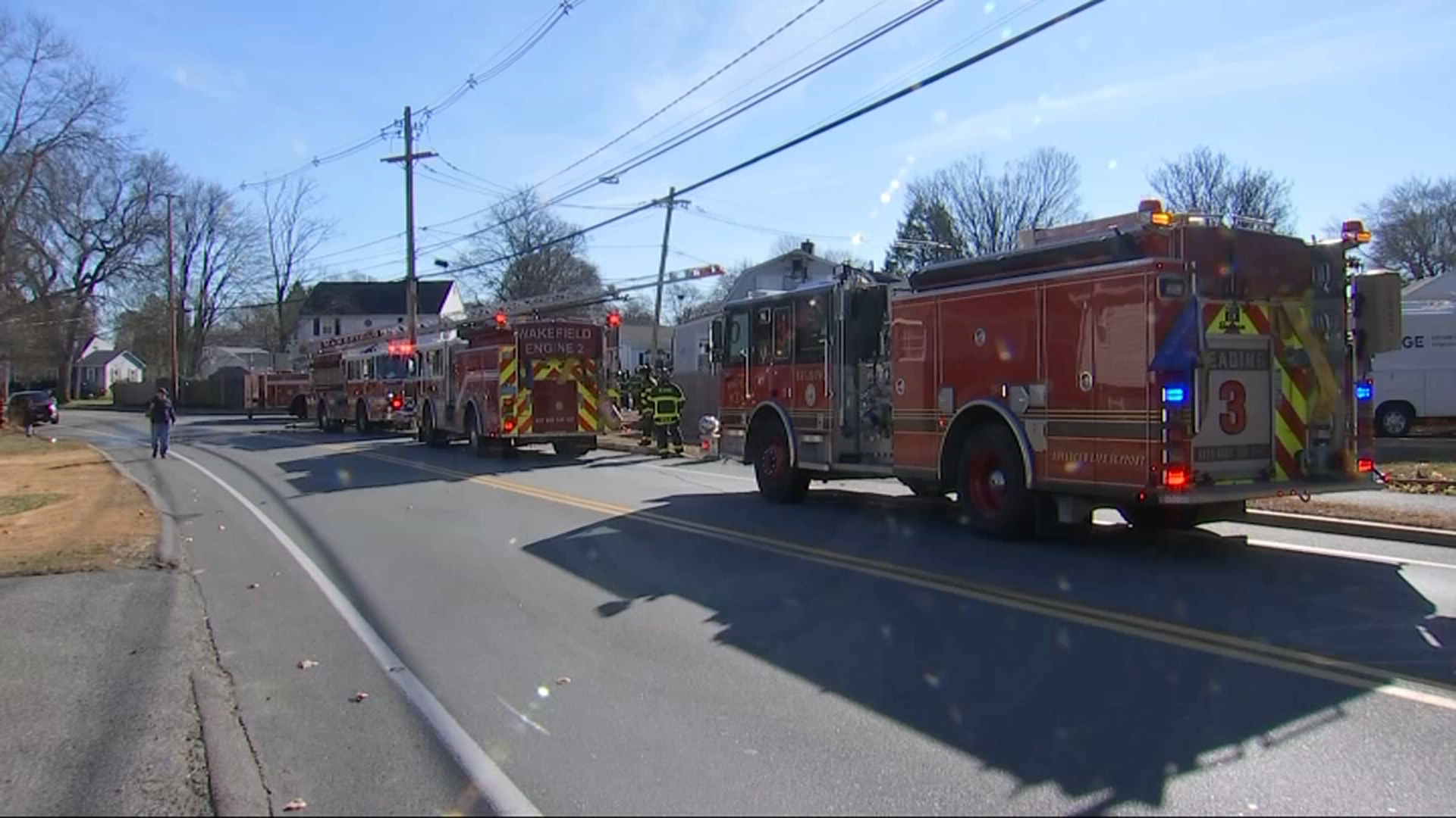
Remember, we didn’t get into this situation overnight, and we won’t get out of it in a flash either. Our soils have been abnormally dry since Mid-June, and that’s unfurled into the unprecedented fire season this fall. In the Commonwealth, wildfires spiked 1,200% for the month of October, and November is already proving record breaking.

Get updates on what's happening in Boston to your inbox. Sign up for our News Headlines newsletter.
Fall drought to winter snow? What history tells us
So after days of drought and red flag warnings, where does that put us as fall comes to a close, and what implications will that have for snow for the forthcoming winter?

We’ve seen this play out before where seriously dry falls have turned into pitiful winters too. With 2.3 inches of rain so far this season, we’re at our second driest fall on record. And looking at other falls that were just as dry (or drier), the winters that followed were snow starved too, with most years only averaging a foot and a half of snow.

Is it causation or coincidence that succeeding winters were snow starved? It could be reasonable to believe that the preceding drought had impact on the following season’s snow.
Droughts are hard to break, but flash droughts are even harder to break. Remember, warming temperatures and less rain cause flash droughts to strike. It takes something extreme to cause them, so eroding away at them isn’t easy either.

A shift in the pattern
Local
In-depth news coverage of the Greater Boston Area.
Gradual recovery would help, but a large pattern shift would need to happen. Think waves of tropical moisture, but that tends to shut down this time of year.
We can also look upstream for broader, wetter storms from the Pacific Northwest. Often times, an atmospheric river will bring flooding rain and mountain snow through the western U.S. and can traverse the entire country.
But remember, a storm alone won’t turn the switch for snow. Evaporation rates are higher at higher temperatures, so we need to cool the air down too. That transport has already started, with several cold fronts impacting the region in the past few days.
In the long term, a La Niña pattern is emerging which generally favors a stormier and colder winter pattern for the northern United States.
At the moment, we do see a series of storms impacting Washington and the western U.S. These waves are set to bond with gulf moisture and will overall create a much stormier pattern in general heading into the week before Thanksgiving, which could time out well for bringing a few inches of rain across southern New England and several spots of snow through ski resorts of northern New England.


