Wednesday night: Cold wind, clear sky. Lows around 20. Thursday: Morning sun, afternoon clouds, evening and night snow, a coating to 2″. Highs 35-40. Friday: Blustery, fair, chance flurry/sprinkle. Highs 35-40.
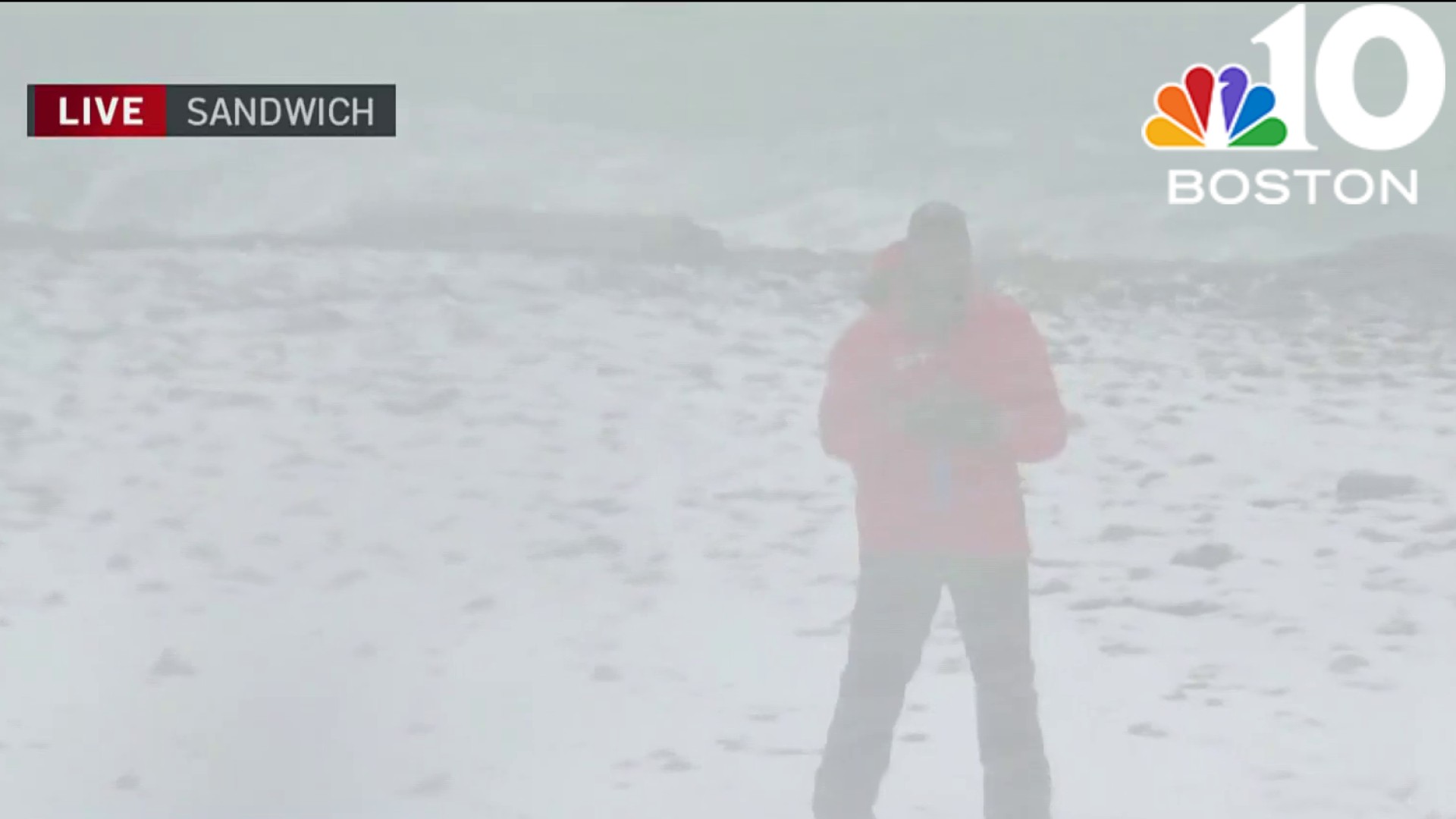
As Tuesday's storm departs through the Canadian Maritimes after dropping a rare 9 inches of snow at Chilmark, on Martha's Vineyard, the broad and far-reaching counterclockwise flow of air around the storm has ushered a feisty northwest wind into New England, transporting a fresh shot of chilly, dry air from Canada.
The upside to this air is the dry nature of it — affording plenty of sunshine. The downside is that sunshine will be equalized by wind chill values in the teens at the warmest time of Wednesday, owing to a steady northwest wind at 15 to 25 miles per hour with gusts to 40 mph at times.
STAY IN THE KNOW
Watch NBC10 Boston news for free, 24/7, wherever you are. |
|
Get Boston local news, weather forecasts, lifestyle and entertainment stories to your inbox. Sign up for NBC Boston’s newsletters. |


Of course, snow and ice doesn't respond to wind chill, so actual high temperatures around the melting point will mean some melting of roadsides and walkways, so sunglasses and windshield washer fluid will help reduce the glare before a few slick spots redevelop in a re-freeze Wednesday night as lows drop to around 20 with wind chill values in the single digits.
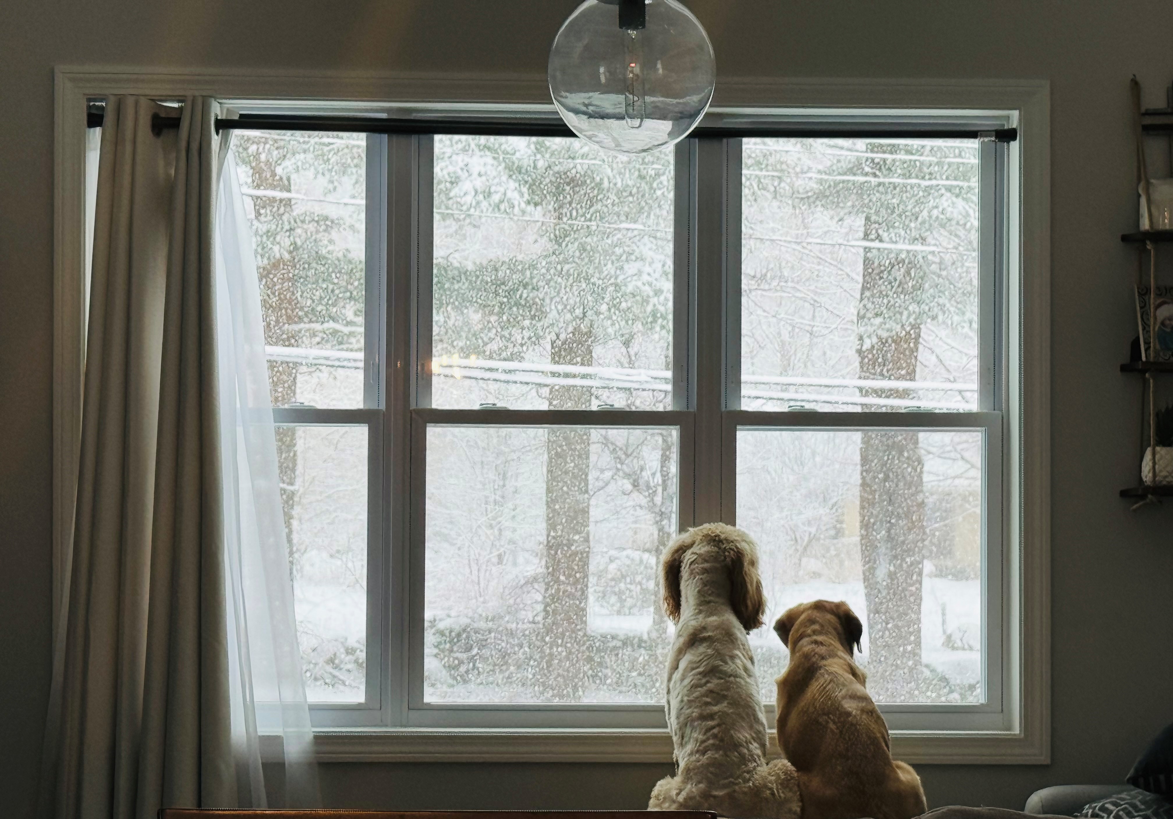
Thursday dawns with cold sunshine, but clouds will increase as the wind subsides during the day, ahead of a fast-moving disturbance cutting from west to east and entering New England with snow Thursday evening. It develops from 6 p.m. to 11 p.m., west to east, and continues in most spots for about 5 of 6 hours, dropping 1 to 2 inches for many, 2 to 4 in the mountains and less in far southern New England, where the South Coast may mix with raindrops.
Get top local stories in Boston delivered to you every morning. Sign up for NBC Boston's News Headlines newsletter.
Even a little natural snow will be a great boost for ski areas to assist with nearly non-stop snowmaking in favorable weather conditions for snow guns to blast both day and night all the way into the holiday weekend and February vacation week for many.
In fact, after another blustery but dry day Friday, Saturday brings one more disturbance that should spread at least scattered snow showers across New England, with Sunday brighter for most but still featuring some mountain snow showers at times.
Daytime temperatures will hover in the 30s for most through the holiday weekend, with Presidents' Day bringing sunshine and seasonable air.
February vacation week (at least for most in Connecticut, Maine, Massachusetts and Rhode Island) starts with a continuation of classic February air and quiet weather to enjoy outdoor recreation, though the weather may turn more unsettled with an increased chance of rain or snow by the end of the week.