Severe thunderstorm warnings were issued for parts of Connecticut, western Massachusetts, New Hampshire and Maine on Tuesday afternoon and evening, but they have since expired.
See all severe thunderstorm warnings in your area here.
WATCH ANYTIME FOR FREE
Stream NBC10 Boston news for free, 24/7, wherever you are. |
Our hot and humid airmass is here to stay for a while. Plus, there is still a daily chance for showers or storms, but our widespread rain risk has decreased a bit for Boston this week.
Get updates on what's happening in Boston to your inbox. Sign up for our News Headlines newsletter.
And the greatest chance for flooding rainfall is farther north across the North Country. This is because the remnants of Beryl are forecast to track farther northwest by the end of the week.
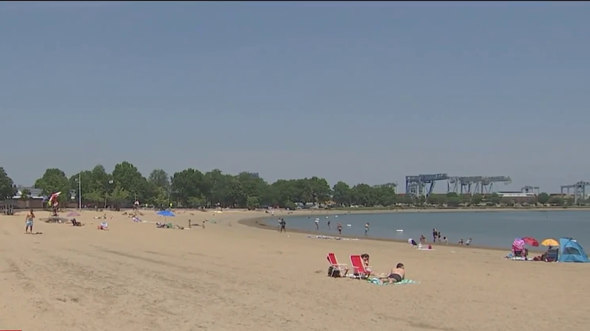
Highs Tuesday reach the low to mid-90s even along the east coastline as we have a southwest wind transporting the warm air…no sea breezes like Monday.

Dewpoints are in the low 70s for many in southern New England and that combined with the heat inland means we see heat indices 95 to 100 degrees. Watch for an offshore fog bank that may roll in and out through the day, especially across eastern Maine and around Nantucket.
More clouds will be around and by late day some storms or showers develop across western and northern New England but staying mainly north of the Pike. Any storm can produce quick rainfall that may lead to localized flooding as our atmosphere is so moisture loaded.
Plus, there's an isolated chance for severe storms with damaging wind or hail. The storms fall apart around sunset as they head southeast. Dissipating to showers around Boston around midnight.

As our humidity remains extremely high and as the remnants from Beryl track into the Great Lakes this week, this will enhance our rainfall potential to end the week.
With an area of high pressure across the middle Atlantic, more humidity and moisture will be transported from the south. So, we're trending a bit hotter, still humid, and more isolated rain and storms Wednesday through Saturday.
One thing to note is Wednesday afternoon to evening, we see a warm front lifting across western and northern New England. As this happens, some brief spin up tornadoes are possible, in addition to damaging wind or hail in the stronger storms.

Drier air may return for Sunday into Monday next week; however, we stay hot and humid.