Severe weather hit some of New England on a summer-like day Tuesday.
Flash flood warnings were in effect in parts of New Hampshire and Massachusetts, with severe thunderstorm warnings being issued in those states as well as Vermont. All have since expired.
WATCH ANYTIME FOR FREE
>Stream NBC10 Boston news for free, 24/7, wherever you are. |
See the latest severe weather alerts here.
The northeast continues to heat up and Tuesday the coast joins in on the summer temperatures.
Get updates on what's happening in Boston to your inbox. Sign up for our >News Headlines newsletter.
Highs top off in the low 80s in Boston Tuesday, with mid to upper 80s inland. The south coast, Cape and Islands stay in the 60s-70s due to the southwest wind over the 50-degree ocean water temp.
We have lots of sun with some developing clouds Tuesday, and humidity won't be too bad with dewpoints around 60.
Storms headed toward northern New England
A First Alert is up for northern New England this afternoon through this evening as a thunderstorm complex moves east from Ontario Canada. The storms will cross into northern Vermont, New Hampshire and Maine this afternoon during peak daytime heating hours.

So, a couple of these storms will be strong to severe with damaging wind and hail as the main threats. Once these head east towards downeast Maine, they run into the sea breeze and more stable air as sunset occurs. So, the storms are expected to fizzle.
Weather
Watch across southern Vermont, New Hampshire and the Merrimack Valley for a rogue storm this evening.
Another round of storms is possible in northern New England Wednesday afternoon, but these are more of the pop-up variety. Otherwise, it will be a partly cloudy day and slightly more humid with hotter temps. Highs will be in the low 90s inland, and near 90 even in Boston.
This is the hottest day in our 10-day forecast. The record in Boston for the date is 93 set in 1959.
Storm could produce damaging wind, hail later this week
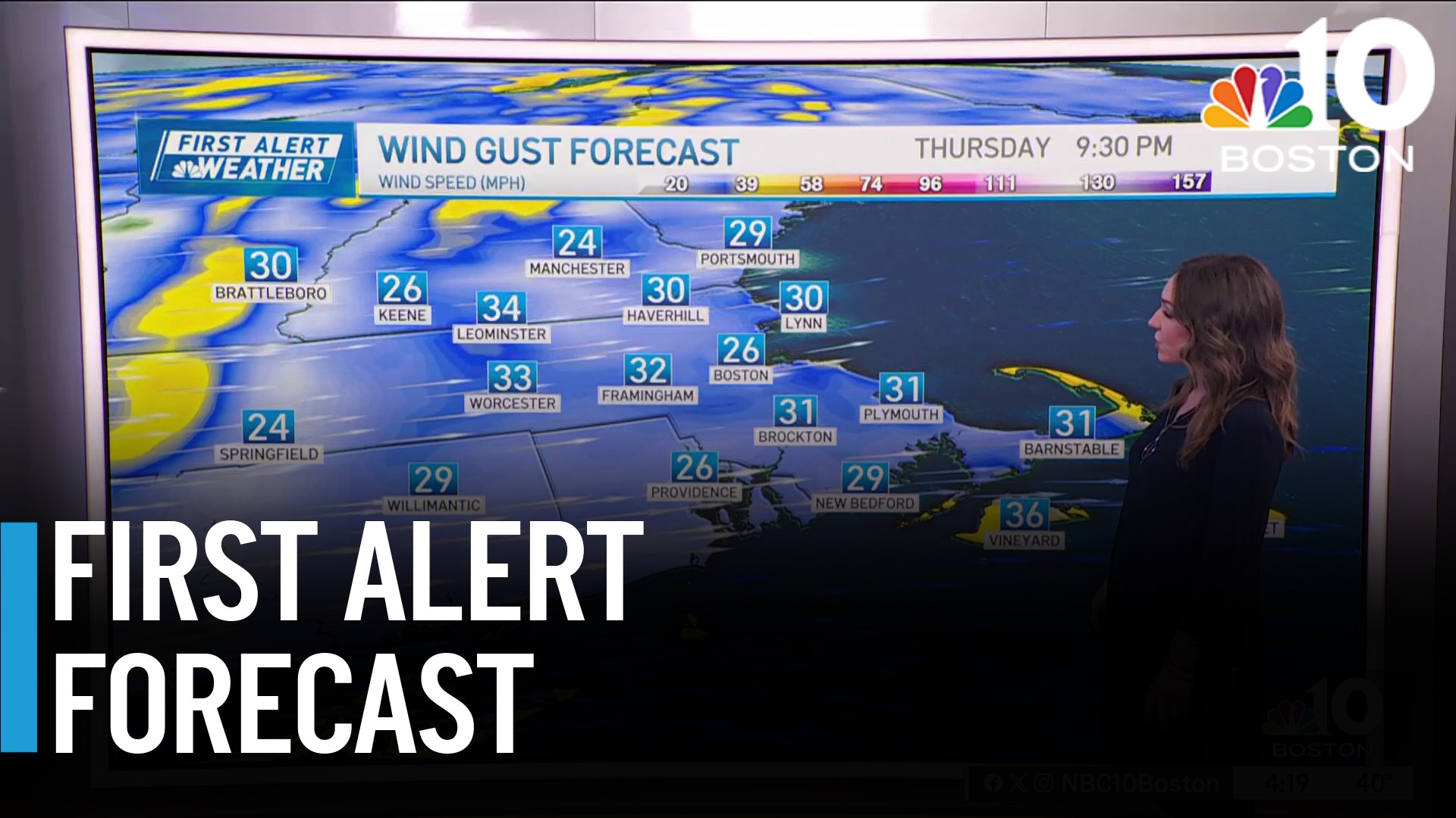
Another First Alert Day has been declared for Thursday as a cold front approaches in the afternoon and evening. These scattered thunderstorms have the potential to produce isolated damaging wind or hail.

All of New England has a storm chance for this day. Before the storms, temps still reach the mid-80s and the humidity will be uncomfortable. As we dry off again on Friday, highs will be in the low 80s. And the dewpoints lower to the 50s with a clear sky.
What does Memorial Day weekend look like?
Memorial Day weekend will be cooler with highs in the 70s to 60s. As we have a few disturbances rolling by, we may have some afternoon pop up showers, especially in the mountains. Stay tuned as the extended forecast becomes more unsettled.


