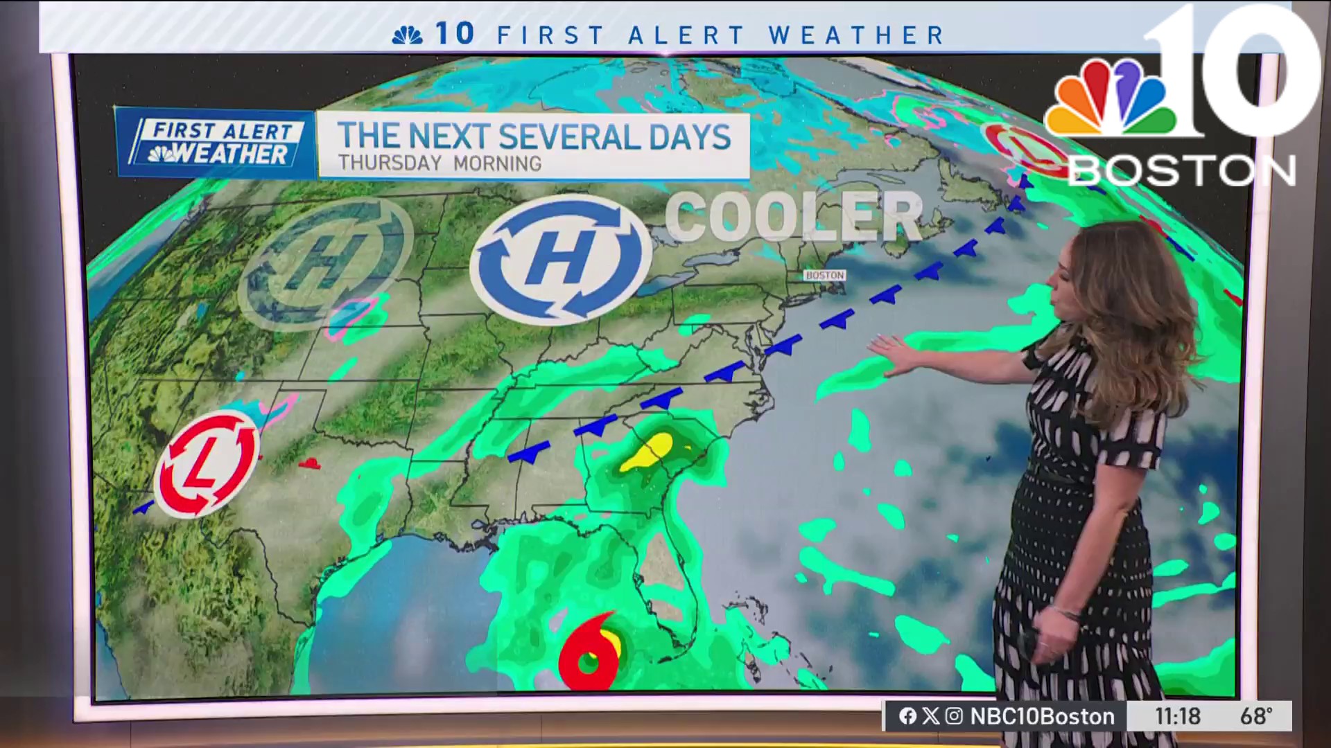
Wednesday will bring about cloudy skies throughout New England and humid conditions. This is ahead of a cold front pushing through. Dewpoints will range from the low to mid 60s.
The humid air will turn showery throughout spots of the day. The pinnacle is likely between mid-morning into the early afternoon. Heavy rain should overall be limited. Pleasant weather conditions are expected for the second half of the week and throughout much of the holiday weekend.
WATCH ANYTIME FOR FREE
Stream NBC10 Boston news for free, 24/7, wherever you are. |
A flood warning was issued around 9 a.m. Wednesday for parts of western Vermont through 12:15 p.m. Flooding is ongoing or expected to begin shortly. Click here for the latest weather alerts.
Get updates on what's happening in Boston to your inbox. Sign up for our News Headlines newsletter.
While our weather at home isn’t as intense, the tropics have far more fanfare with two strong systems.
Franklin and Idalia are forecast to be major hurricanes at the same time on Wednesday. If that verifies, it will only be the third year on record where two major hurricanes have been in the Atlantic at the same time. While Franklin stays out to sea, Idalia’s fury will soon be realized with significant storm surge and flooding rain across Florida’s west coast, and the southeast United States.

The storm is forecast to make landfall as a Category 4 hurricane near the Apalachee Bay of North Florida. This is truly uncharted waters. If the forecast track holds, it would be the first time a major hurricane has made landfall in the Apalachee Bay. That’s a zone in the Florida’s Big Bend between Apalachicola and Cross City. Regionwide, there has only been one hurricane to make landfall in Northwest Florida as a category 4 or higher, and that was Hurricane Michael in 2018.
Weather
Secondary impacts are likely for New England in the Atlantic due to Hurricane Franklin. It’s a major hurricane west of Bermuda. The storm will hold it’s hurricane status as it moves north beyond the Labrador Sea. The wind energy in the Central and North Atlantic, will be enough to increase wave heights and rip currents. While it’s tempting to in for one last dip during Labor Day weekend, water should be avoided through Friday, with an increased risk of rip currents for many beaches along the South Coast.


