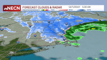
Friday’s storm continues to intensify, bringing areas of rain, wet snow and gusty wind depending on your location. The rain/snow line has set up essentially from around Rochester, New Hampshire, southwest to Gardner, Massachusetts, and Northampton to the southwest corner of the Commonwealth.
WATCH ANYTIME FOR FREE
>Stream NBC10 Boston news for free, 24/7, wherever you are. |
Snow totals and rain expectations
Near this transition zone we’ve seen an oscillating combination of sloppy snow and rain. Northwest of this line, the weight of the accumulating snow is already resulting in pockets of power outages, especially where a gusty wind contributes to the load on the lines, leaving the eastern slopes of the Berkshires to much of Vermont, central and northern New Hampshire and interior Maine, particularly north of the Maine Turnpike, especially vulnerable. Snowfall totals will generally run 6-12” for much of central and northern New England with 12-18” in the mountains. Outage numbers in the hundreds will climb into the thousands undoubtedly this evening.
Get updates on what's happening in Boston to your inbox. Sign up for our >News Headlines newsletter.

Slippery roads expected
Farther south and east, rain, heavy at times, will continue to impact us through the evening commute, with periodic downpours resulting in large puddles and ponding of water with road spray reducing visibility and all of it contributing to slow and slippery travel. Rain and snow will continue tonight, with the rain/snow line collapsing eastward after midnight to pre-dawn, resulting in a coating to 1” from the Worcester to Boston corridor to the Merrimack Valley and far southeast New Hampshire.
Weather
Strong winds and wind chills in the 20s
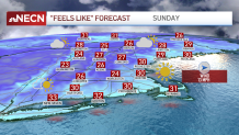
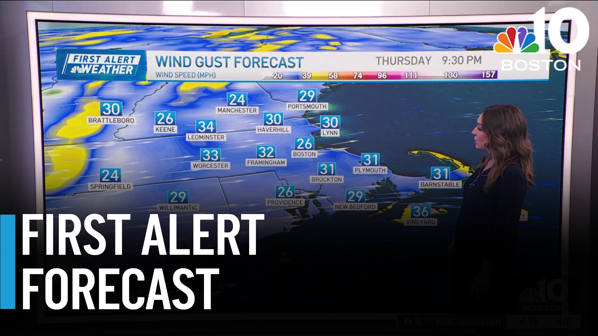
The wind will continue to remain strongest at the coast, gusting 40-50 mph. Tomorrow behind the storm center, gusts to 40 mph will be common, with a few higher gusts possible on Cape Cod in particular. Sunday brings a bit less wind but certainly a blustery feel. Wind chill values will be running in the 20s for most Sunday afternoon.

Tracking another storm for next week
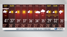
Otherwise, it’ll be a chilly but quiet stretch of weather from Saturday afternoon through midweek next week, before the next storm takes shape and once again holds potential to be a coastal storm of either snow or rain. This storm is one our First Alert Team has shared with you all week. What’s yet to be determined, of course, is storm track, exact intensity and, therefore, impacts from rain and snow. At this point, we know there’s a lot of energy involved so the potential for a powerful storm is there for Thursday night into Friday the 23. White Christmas anyone?


