Today: Sun and clouds, very warm and humid. Highs 85-90, heat index lower 90s. Thursday: Fair and hot. Highs around 90, heat index middle 90s.
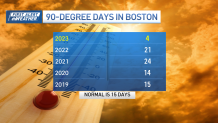
Heat continues to build over the next two days. While the temperatures leap back to the low 90s Wednesday, they’ll peak in the mid-90s on Thursday. Humidity will combine with the high temps to make it feel closer to 95 to 100 degrees in areas away from the coast and Capes.
While you could argue that this is dangerous heat, it’s certainly not as brutal as when the mid-summer sun is blazing overhead. These September days feature a lower sun angle and shorter daylight hours. We also experience less time in the “heat of the day” as our high temperature typically peaks in the mid-afternoon.
Stream NBC10 Boston news for free, 24/7, wherever you are.

Still, if you’re working outside – or in an unairconditioned environment — keep the water close by and take plenty of breaks. Relief can be found at the coast and Capes in the coming days as feeble sea breezes keep us in the 80s to near 90 and in the low 80s on Cape Cod and Islands and Cape Ann.
Get updates on what's happening in Boston to your inbox with our News Headlines newsletter.

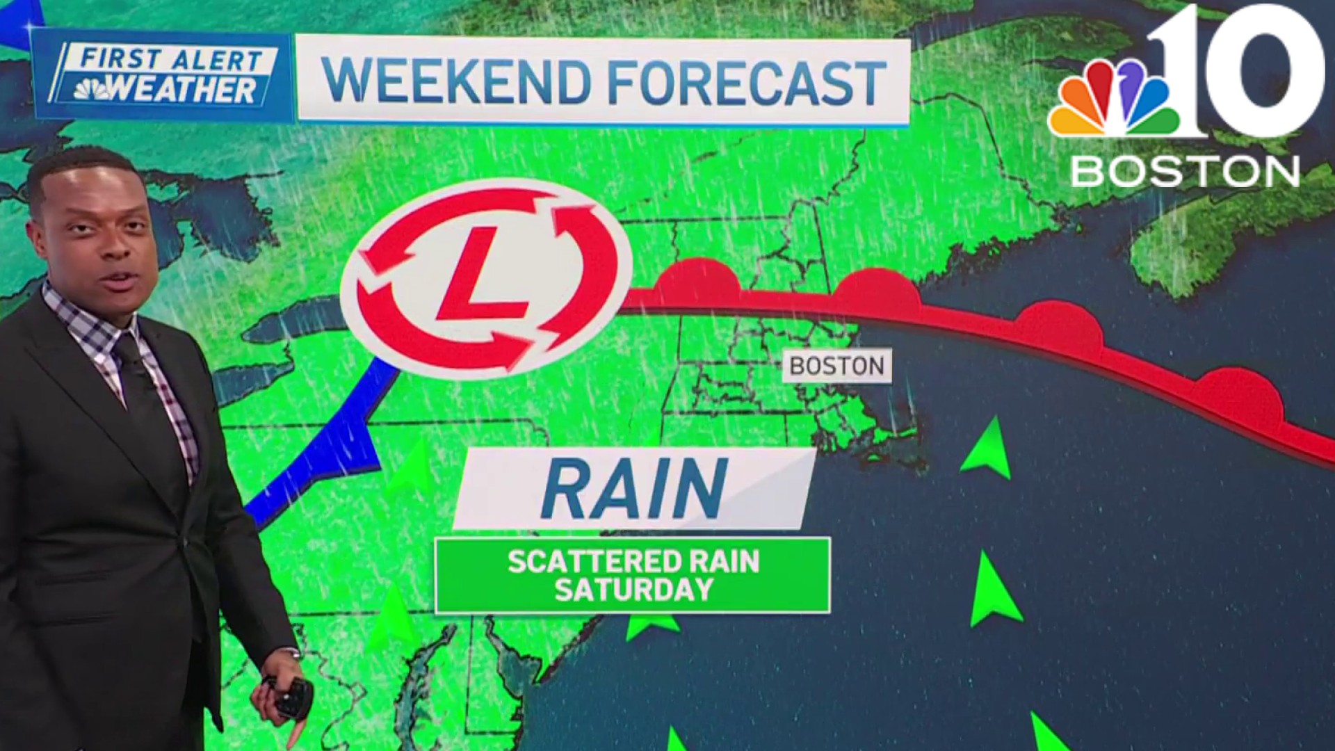
With an increase in cloud cover, the temps will naturally dip late week and this weekend. Humidity remains in full force, however, through Monday. Shower threats will be minimal until we reach Sunday, as a slow-moving cold front approaches New England.
As we know, this late in the season, these hot days are numbered. This may be one of our last major warmups of late summer.
Weather
Stay cool!


