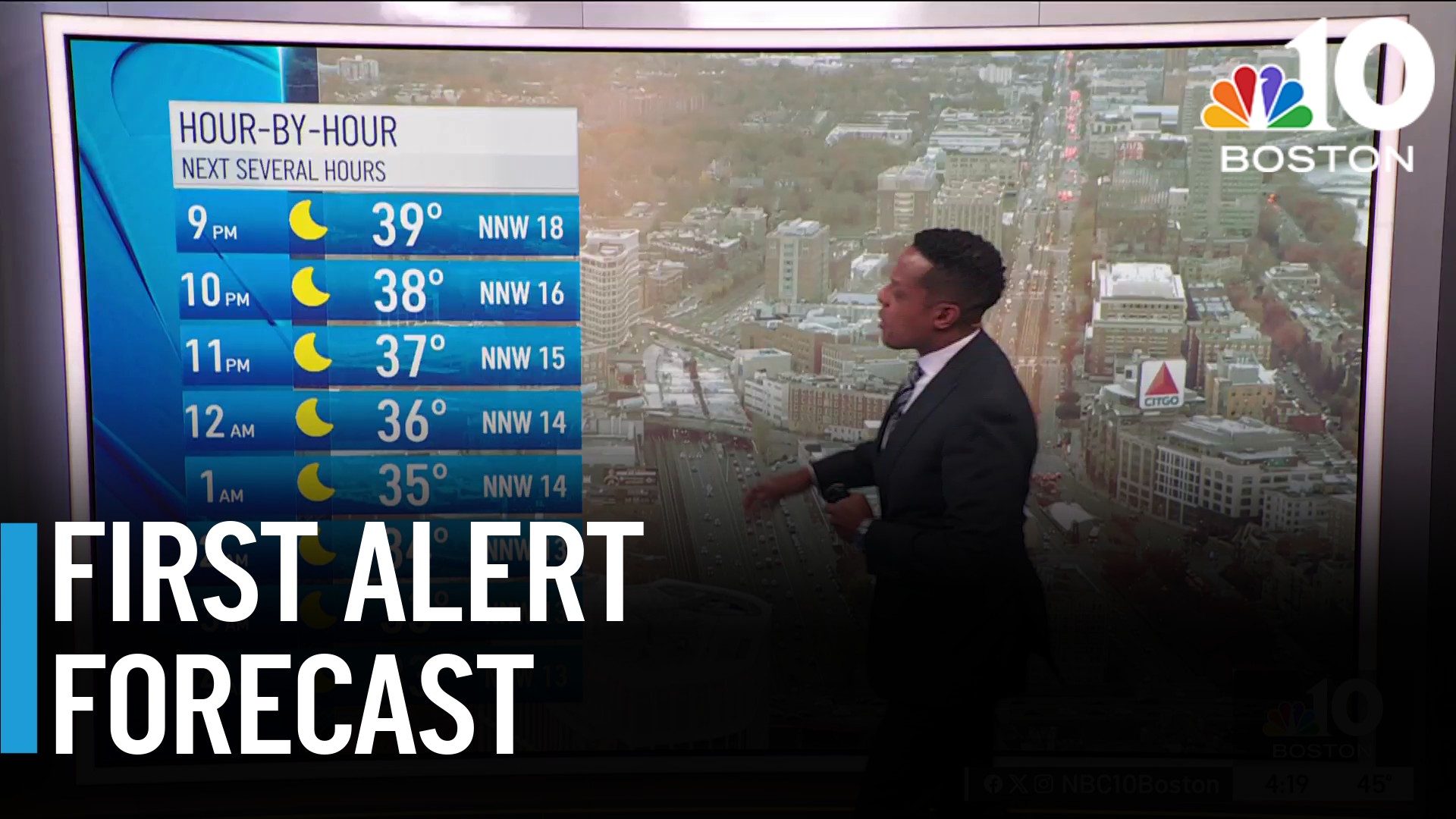
The window for drying isn't very long, but after the low clouds/fog burn off, it will deliver some pleasant weather Wednesday. Highs should bounce back to the low 60s in spots — mostly away from the coast/Capes.
While sun is limited, it should be enough to get us there.
WATCH ANYTIME FOR FREE
Stream NBC10 Boston news for free, 24/7, wherever you are. |

Rain is swiftly moving in our direction. We should see the first drops move in after dark, with the heavy rain moving in between 10 p.m. and midnight. This will be the "meat" of the storm, and it means business. Through 4-5 a.m., rainfall amounts could approach 3 inches in spots with isolated amounts of nearly 4 inches.
Get updates on what's happening in Boston to your inbox. Sign up for our News Headlines newsletter.

Right now, guidance seems focused on most of southeast Massachusetts for the highest rainfall amounts. Flooded roads, intersections, streets, basements and yards may be part of our morning Thursday.
As the heaviest rain moves off, the afternoon will see spotty showers and eventually some drying. There's even a remote possibility of some sun sneaking into the picture across southern New Hampshire and northern Massachusetts. Across southeast Massachusetts, however, the showers could linger into early Friday morning.

Gusts of wind will be coming in from the northeast Thursday. Some may reach 50 miles per hour at the coast, but elsewhere should remain in the 25 to 35 mph range. Winds ramp down late on Friday, taking their sweet time easing at the coast.
We get a two-day drying trend to take hold on Friday, but with chilly temps, it will feel every bit of March. Next storm is arriving Sunday, and although it's not as strong/wet as the current storm, another inch of (unneeded) water is in the cards.

Finally, a longer-term break will come starting Monday and lasting through at least Thursday (possibly Friday).
Weather
Hang in there.


