Today (Sunday): Very warm and humid with PM storms, some severe with damaging wind & hail. Highs mid to upper 80s. Overnight Tonight: Scattered showers and storms early. Lows mid 60s. Monday: AM sunshine, building PM clouds, isolated shower, less humid. Highs mid to upper 70s. Tuesday: Mostly sunny, low humidity. Highs low 80s.
Sunday morning, spotty showers and patchy fog will clear out by late morning with partly sunny skies by midday. Inland temperatures will rise quickly to the 80s, with thick humidity.
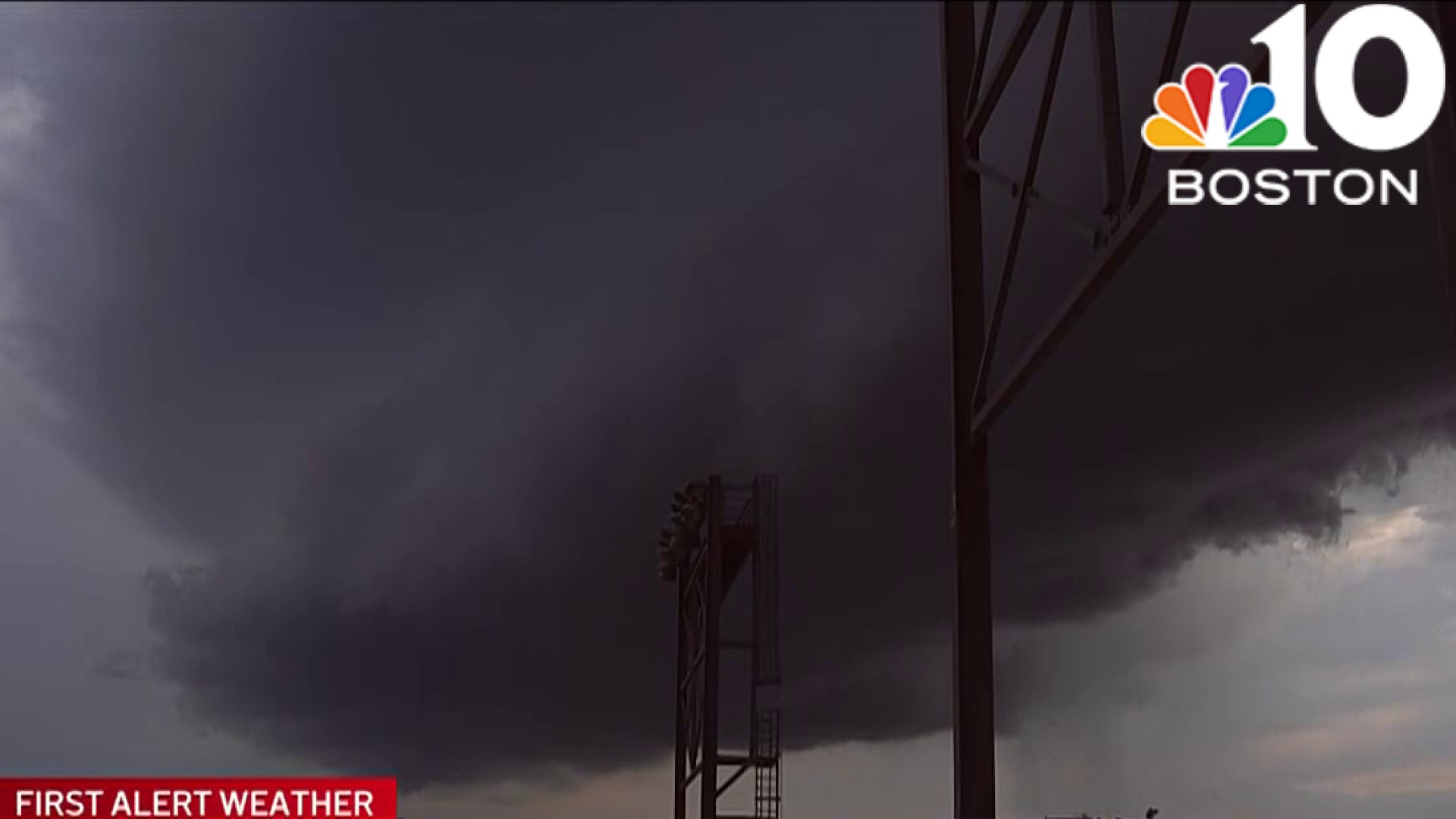
With high heat and humidity, conditions are favorable for storms to develop and become organized and severe by midafternoon.
STAY IN THE KNOW
Watch NBC10 Boston news for free, 24/7, wherever you are. |
|
Get Boston local news, weather forecasts, lifestyle and entertainment stories to your inbox. Sign up for NBC Boston’s newsletters. |


Thunderstorms will start by 2 pm in northern and western MA, reaching the south coast by evening, the main window for severe weather will be 2 pm to 7 pm. North and west of I-95 will likely be when the line of storms is strongest. Damaging wind gusts are the main threat.
Large hail, heavy rain, and an isolated tornado are not out of the question.

Expect hit-or-miss showers on Monday, with most areas staying dry and humidity levels decreasing. Tuesday and Wednesday will be dry and warm with comfortable humidity and highs in the low to mid-80s.
The Fourth of July will be more humid with possible showers and storms, especially in the afternoon and evening, though the timing is still uncertain.