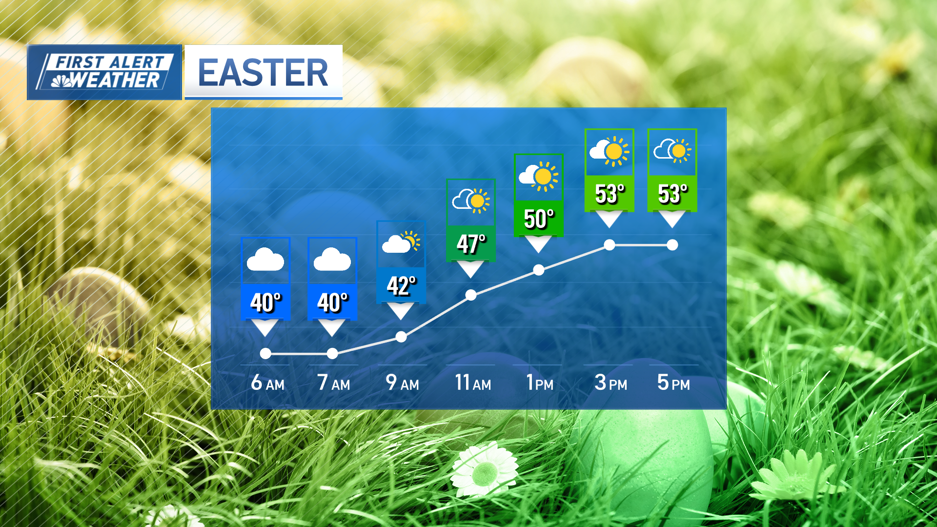
Monday is one of the better outdoor days of the week. The start of the week looks mostly cloudy and mild, with highs reaching the upper 40s to low 50s. There may be a passing shower, but that is the exception and not the rule.
However, things will start to change on Tuesday as a wet spell begins. While there will be dry periods on Tuesday, the rain will become steadier as we move into Wednesday. Wednesday into Thursday will be the most intense part of this storm, with winds gusting over 40 miles per hour at times and heavy rain expected.
WATCH ANYTIME FOR FREE
Stream NBC10 Boston news for free, 24/7, wherever you are. |
Be prepared for your day and week ahead. Sign up for our weather newsletter.
Snow in parts of Massachusetts on Thursday?
Get updates on what's happening in Boston to your inbox. Sign up for our News Headlines newsletter.
Early Thursday morning, there's a chance for the precipitation to changeover from rain to snow in the Worcester Hills and the Berkshires. A rain-snow mix/snow is possible Interstate 95 westward.
This storm, combined with Thursday morning's high tide, increases the risk of minor coastal flooding.
More stories
Once the storm moves out from Thursday into Friday, we'll see a shift to dry and sunny weather that will likely stick around through the middle of next week.
2024 solar eclipse forecast
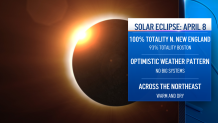
So, the forecast for Monday, April 8, the day of the solar eclipse, is looking great across New England.


