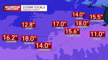
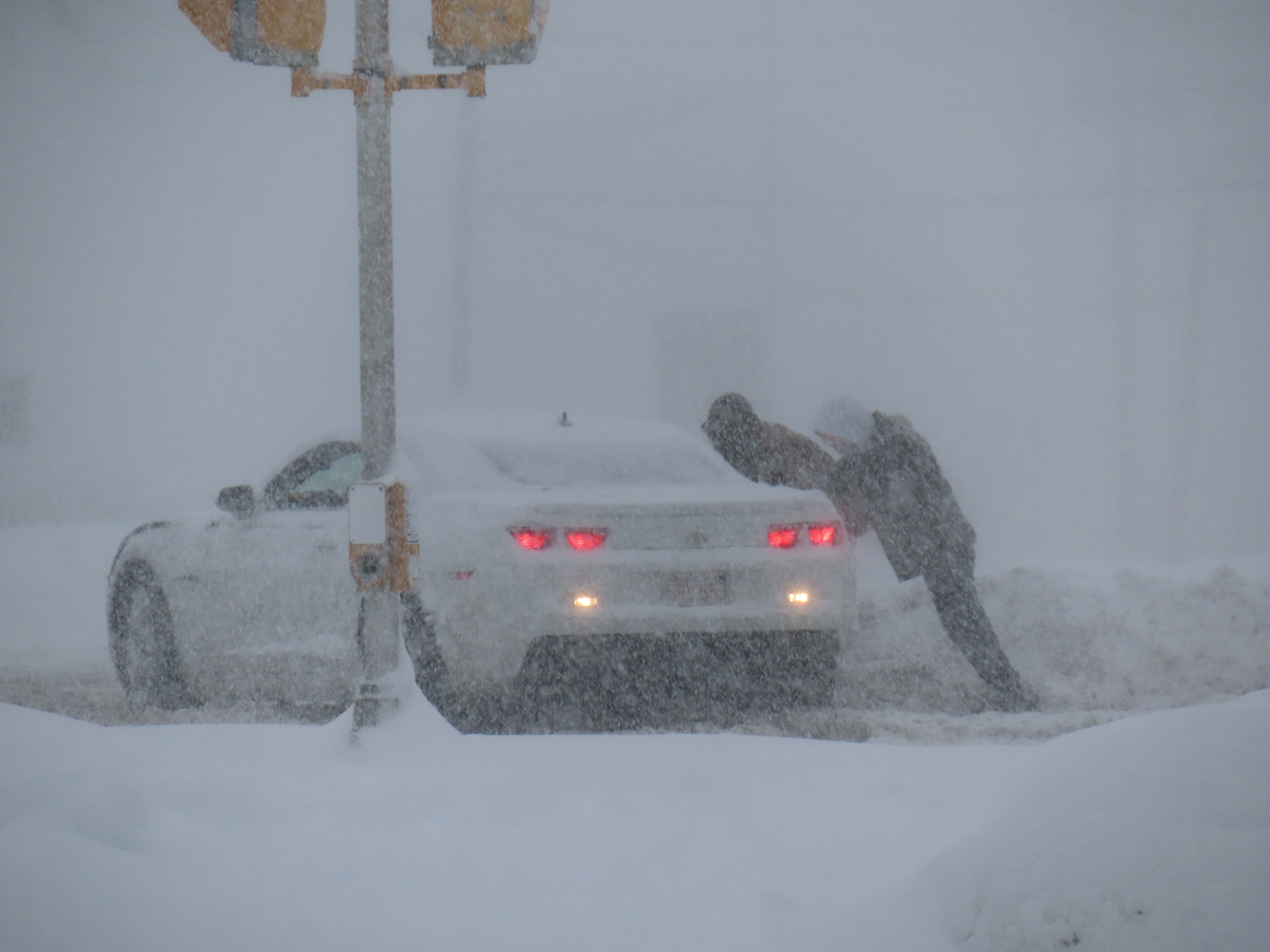
As we start to dig out from over a foot of snow in spots, the screaming message of the day is, "Don't put it in the street or over a storm drain."
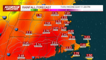
Torrential rain, high winds and a serious meltdown are in order by Tuesday night and early Wednesday.
WATCH ANYTIME FOR FREE
Stream NBC10 Boston news for free, 24/7, wherever you are. |

Otherwise, our weather is quiet over the next 36 hours. Unfortunately, we won't get much melting done through Tuesday as our highs only top the mid-30s Monday and near 40 Tuesday. In fact, there may be some light accumulation of snow at the onset of the storm Tuesday night, especially across central Massachusetts and southern New Hampshire.
Get updates on what's happening in Boston to your inbox. Sign up for our News Headlines newsletter.
That still won't be enough to stop the major meltdown in store for Tuesday night and all of Wednesday. High temperatures will spike to the low/mid 50s in a small window early Wednesday morning before settling back to the 40s for the remainder of the day.

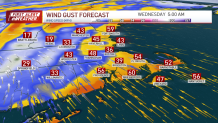
Gusty winds from the south/southeast will be strongest from late evening Tuesday straight through early morning Wednesday. There will be a pause early Wednesday, then additional gusty (although not as strong as overnight Tuesday) winds are expected Wednesday afternoon.

This warm storm is just one of two that will take a swipe at New England in the next six days.
The next is Saturday. Another dose of rain and wind with that system, too. So, it's wise to keep the snow off the storm drains, and to dig out the gutter downspouts, fire hydrants and any covered storm or sewer drains.

Stay warm this morning. Breezes will make it feel like the teens into the late morning.


