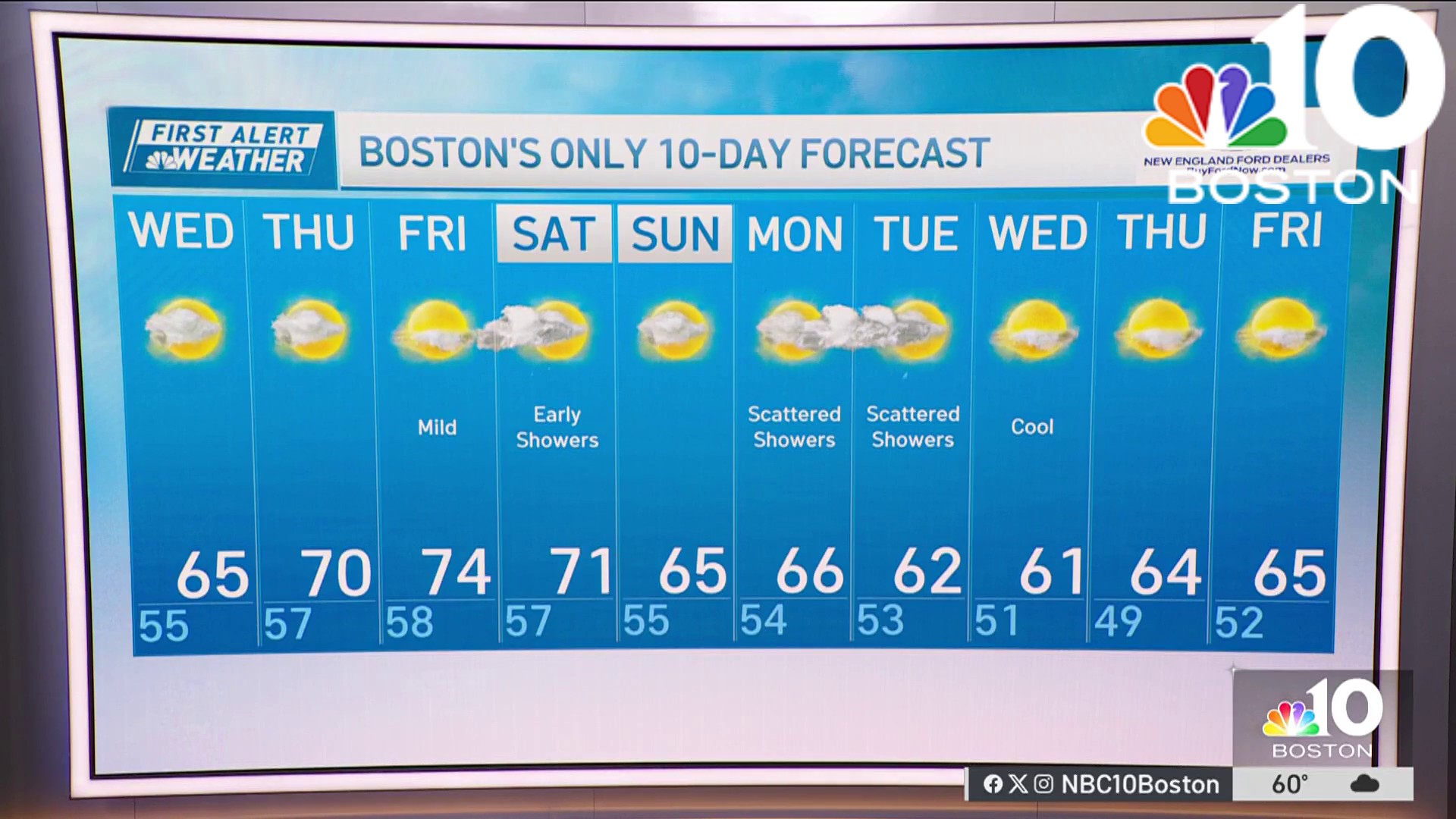
After a record-warm afternoon Tuesday in central Massachusetts, Wednesday will be a wet one. On-and-off rain, heavy at times, will persist throughout the day.
While a break in the rain is possible from late morning to early afternoon, another round is expected later in the afternoon into the evening. Following this rain, a swift cold blast will sweep in, accompanied by northwest winds, bringing the potential for a quick burst of snow or wintry mix early on Thursday.
STAY IN THE KNOW
Watch NBC10 Boston news for free, 24/7, wherever you are. |
|
Get Boston local news, weather forecasts, lifestyle and entertainment stories to your inbox. Sign up for NBC Boston’s newsletters. |

Throughout Wednesday, gusty winds will be prevalent, reaching 30 to 45 miles per hour inland, with the strongest wind occurring as the cold air arrives late Wednesday into early Thursday, where wind gusts could reach up to 55 mph. Coastal areas, including Cape Cod, will experience winds pushing 65 mph at times.
Get top local stories in Boston delivered to you every morning. Sign up for NBC Boston's News Headlines newsletter.
This brings in the concern of localized power outages, particularly along the South Shore, Cape Cod and the Islands.

Although the rain and wintry weather will clear out by Thursday morning, the brisk winds will persist throughout the day. Additionally, temperatures will sharply drop from the low 60s to the mid-30s on Thursday afternoon.
Weather
Looking ahead to the weekend, a rebound to the middle 50s for highs is anticipated, with warmth likely to persist through mid-March.


