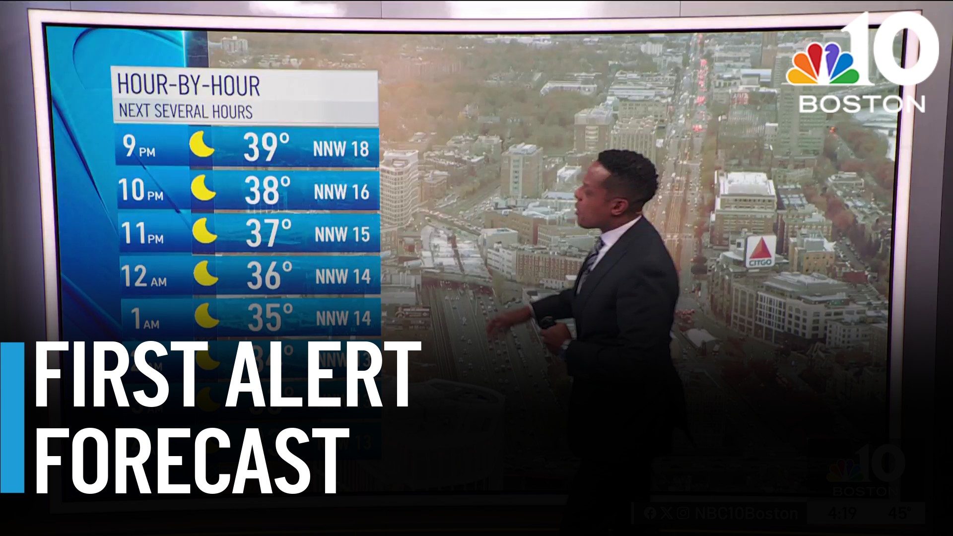
An increasing southwest flow has brought much warmer and humid air from the Gulf of Mexico to New England.
Clouds will break by the afternoon, especially inland, yielding temperatures to rise into the mid 70s to 80 degrees, cooler in the mid to upper 60s at the coast.
WATCH ANYTIME FOR FREE
Stream NBC10 Boston news for free, 24/7, wherever you are. |
A mid-level disturbance will deliver a round of showers and t’storms this afternoon and evening, some of which could produce frequent lightning, downpours and isolated wind damage.
By the evening, scattered showers and t’storms will wane with daytime heating and as the best instability shifts away from the region. High pressure nudging into New England will allow skies to clear, which the exception of the Cape and Islands where stratus and low clouds hang tough. Low temperatures will drop down into the mid 50s to low 60s.
Get updates on what's happening in Boston to your inbox. Sign up for our News Headlines newsletter.
Expect a dry and quiet start to the weekend as high pressure continues to nose into the area. Also, expect mostly sunny skies with fair-weather cumulus clouds overhead. High temperatures will struggle to get out of the upper 60s to mid 70s at the coast.
Elsewhere, temperatures rise well into the mid to upper 80s, with a few locations hitting the low 90s across the Merrimack Valley. Northwest winds will blow 10-20 MPH, gusting up to 25 MPH at times. A ridge of high pressure builds into the East on Sunday, setting us up for what will be the first heatwave of the season. Sunday through Tuesday, expecting high temperatures to reach into the low to mid 90s each day – certainly excessive for early June!
A few temperature records may be challenged across the region. Low temperatures will only drop down into the mid 60s to low 70s at night, yielding uncomfortable sleeping for some folks.
Weather
A backdoor cold front is slated to enter New England on Tuesday, providing a bit of relief for the region on the exclusive First Alert 10-Day Forecast.


