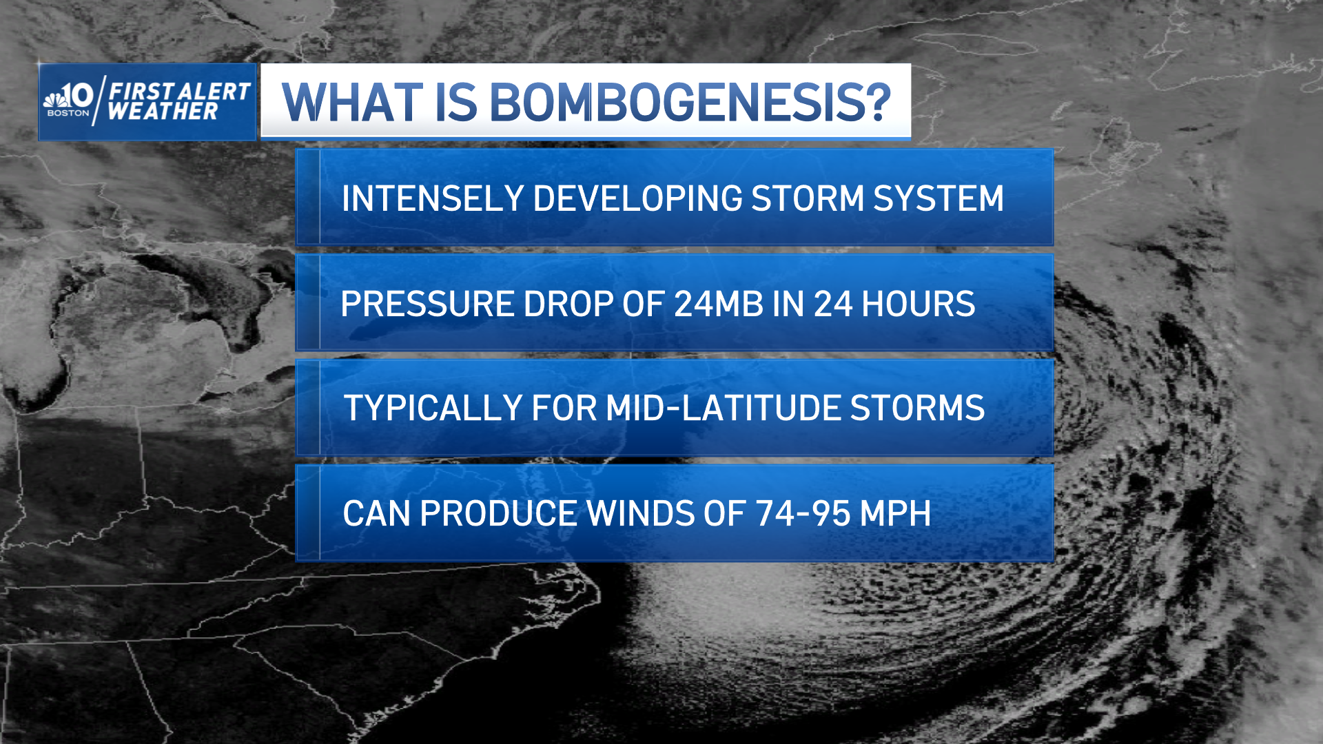
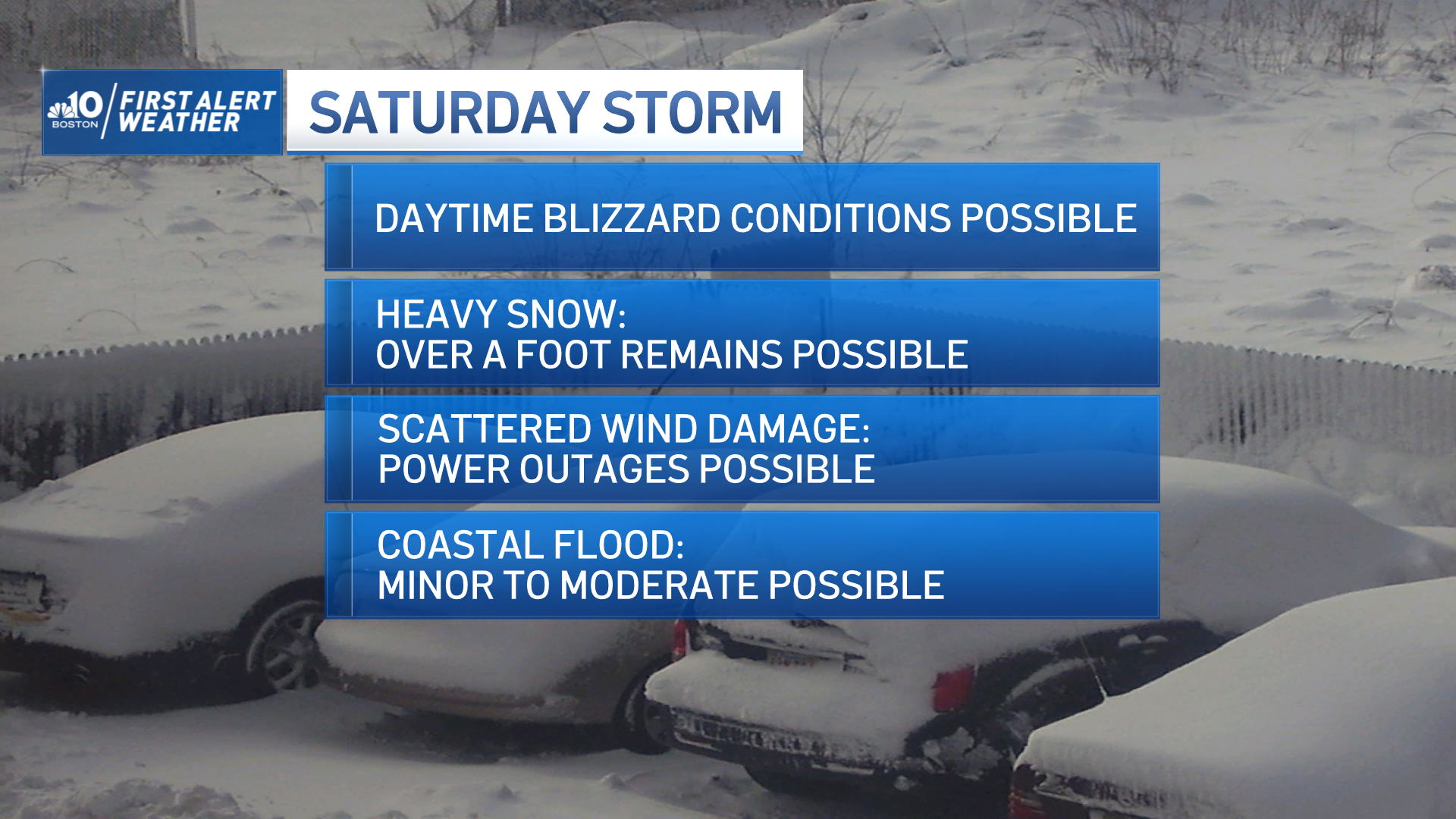
Another day spent in the cold and sun, but another day closer to consolidating the forecast on the upcoming nor’easter.
Our storm is still waiting for all the right parts to drop into an innocuous band of clouds and sprinkles off the coast of Florida. Right now we have the base ingredients for the storm; tonight we infuse it with gobs of energy and watch it start spinning.
WATCH ANYTIME FOR FREE
Stream NBC10 Boston news for free, 24/7, wherever you are. |
When will the snow start in Boston?
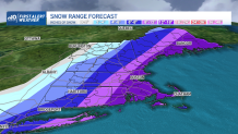
Snow is now commencing a little later now toward Saturday morning. The storm continues through Saturday with increasing intensity. Our weather goes downhill very quickly with snow picking up and road conditions deteriorating. At times, the snow will come down heavy through Saturday afternoon into the early evening.
Get updates on what's happening in Boston to your inbox. Sign up for our News Headlines newsletter.
Will winds be strong enough to cause power outages?
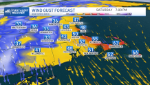
Winds will be fierce with this storm – regardless of a track closer to the coast or not. Gusts will approach 60 mph along the water’s edge through Saturday. With winds this high, we’ll be close to a blizzard (three straight hours of snow or blowing snow with visibility ¼ mile or less in winds of 35 mph or more) on the Capes. These winds may be enough to produce pockets of power outages into the day and night Saturday.
What about coastal flooding?
With a storm at sea and rising water along the coast, coastal flooding will rear its ugly head. By storm time, we’ll still be three days from the high astronomical tide on Tuesday, so tides won’t be as high as they could be for the storm. That said, we’ll still have 1 to 2 feet of storm surge to contend with, giving us minor to moderate flooding during the Saturday morning high tide.
How much snow are we getting this weekend?
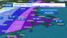
Snowfall amounts have ranged from as little as 4 to 7 inches to as much as 12 to 18 inches across eastern Massachusetts and southern New Hampshire. There isn’t much consensus with our primary guidance, with both camps holding their ground at very little snow versus a lot of snow. Frankly, this may come down to the wire as to who’s right. The intense, rapid development of the storm is causing fits in the models. This, in turn, complicates the storm’s track – which in turn, complicates the snow forecast. We’re still hesitant to commit to hard snow amounts at this time.
Much more unfolding in the hours ahead. We’ll pass on information as it comes in. Stay with us!

