Flooding, damaging winds and even thunderstorms are all possible on Wednesday as a major winter storm blasts the region.
Follow NBC10 Boston:
https://instagram.com/nbc10boston
https://tiktok.com/@nbc10boston
https://facebook.com/NBC10Boston
https://twitter.com/NBC10Boston
There’s a lot to gnaw on Wednesday's weather bone as an intensifying storm system charges through New England. High winds, power outages, flooding, temperature swings — we have it all.
Taking it from the top, the early part of the day is the least bothersome. Occasional bouts of rain will fly through on a very fast-moving jet stream. If you have a chance, gaze up at the clouds and watch how quickly they cross the sky. Wind speeds late day will peak near 100 mph at about 5,000 feet!
WATCH ANYTIME FOR FREE
>Stream NBC10 Boston news for free, 24/7, wherever you are. |
High winds warning in New England
This will translate to high winds here at ground level too. From 6 to 9 p.m., our strongest winds will hit along with our heaviest rain (not coincidental). Gusts will top 50 mph, especially in higher elevations and along the coast, Capes and Islands. This could be enough to create damage and/or outages, so keep your electronics charged and the flashlights handy.
Get updates on what's happening in Boston to your inbox. Sign up for our >News Headlines newsletter.

Possible thunderstorms, several inches of rain
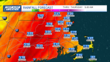
It’s also in this time frame that we could see thunderstorms as high humidity (for this time of year, anyway) streams up from the Deep South. This moisture plume is tapping into an Atmospheric River, albeit for a short period of time, to create the intense rain. Guidance projects two to four inches of water, but we could see some isolated spots in New England near 5 inches. Obviously, this is cumulative rain over the entire day, but during the most intense part (6 to 9 p.m.) fast runoff may cause localized street or urban flooding. Streams will also rise quickly through the day.

Near-record high temperatures
Temperatures will soar along with the wind. Tuesday night’s cold is still present in northern Massachusetts Wednesday morning, but by midday, the warmth will send it packing. At our projected high of 65, we’ll be three degrees shy of the record in Boston, but we certainly will be in unfamiliar territory. Worcester should even climb to near 60, closing in on the record of 62. This isn’t completely out of the ordinary for December (we saw 6 of them in 2021), but reflects what we will see with a warmer climate in general.

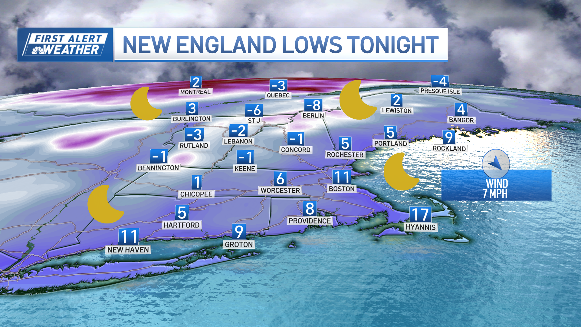
Speaking of temperature swings, we’ll see the numbers come crashing down late Wednesday night as the cold rushes back in. We could see temps plummet nearly 30 degrees in a matter of hours as the front crosses. In addition, the winds will ramp down for a spell, then ramp back up as we near daybreak on Thursday.
Weather Stories
The weather settles down to finish the workweek. The weekend looks dry and quiet too. We’re expecting more showers to arrive early next week.
Be safe and travel carefully late Wednesday evening!


