A breezy, hot, and humid evening ahead with a few showers and storms developing, some of which may be on the strong to severe side with heavy rain, hail, and gusty winds.
Over 15,000 customers, mostly in eastern Massachusetts, were without power as of 8:30 p.m. after a series of severe thunderstorms passed through Greater Boston.
WATCH ANYTIME FOR FREE
Stream NBC10 Boston news for free, 24/7, wherever you are. |
Trees and wires were reportedly down in many areas.
Get updates on what's happening in Boston to your inbox. Sign up for our News Headlines newsletter.
See the latest weather alerts here.
By nightfall, most of the storms were expected to weaken and fall apart as they lost the heat from the sun and it will be another muggy night for much of the region.
The exception will be across far northern New England, especially northern Maine where we're seeing showers and storms in the forecast as a frontal boundary remains draped across the area, keeping them on the unsettled side.
Lows tonight drop into the 70s south, and the 60s north.

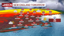
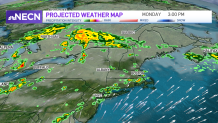
Another hot and humid day will be with us Monday with more afternoon showers popping up with more widespread showers and storms across northern New England. Storms are especially possible in central and northern Maine.

We’ll remain in First Alert once again due to the extremely hot conditions. Highs will reach the mid 90s again with oppressive humidity across much of the region, with cooler readings in the 70s across central and northern Maine where you’ll be dealing with unsettled conditions.
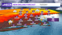
A cold front will slowly pass through the region Tuesday bringing relief behind it, but ahead of it, we will likely see high temperatures jumping into the 90s again across southern New England. Along that boundary, we’ll be watching for more thunderstorms and downpours to develop, some of those could be on the strong to severe side, which prompted our weather team to issue a First Alert for Tuesday.

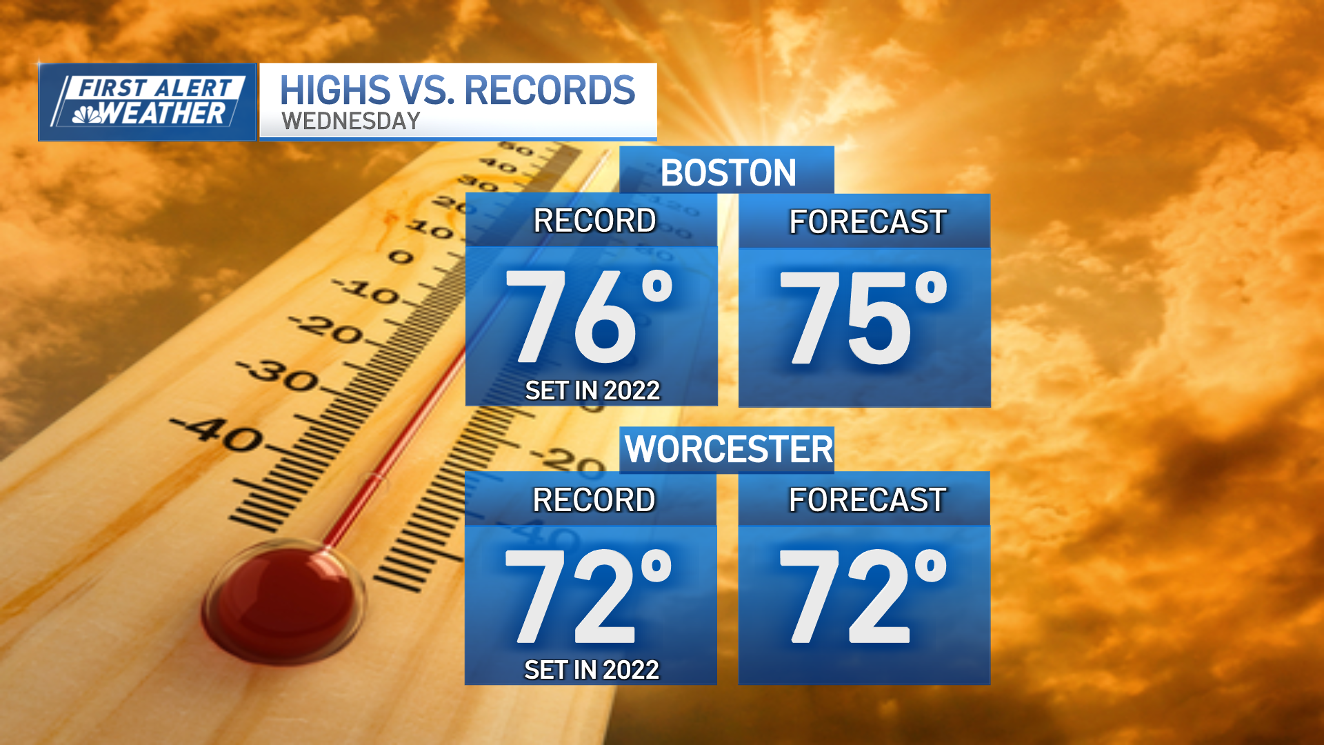
The heat wave finally breaks region wide on Wednesday after the frontal boundary passes. However, conditions are looking a bit unsettled with beneficial showers around all day. As a matter of fact, the threat for showers will remain high right through the end of the workweek depending on the position of the frontal boundary south of New England.
Weather Stories
One thing is for certain: Temperatures will be much more tolerable with highs mostly in the 70s and 80s right through the end of the week as featured in our Exclusive 10-Day Forecast.


