A nor'easter continues to move across New England Monday evening, making driving perilous, knocking out power and closing schools. There's more snow coming tonight for many in the region as well. Details below.
Snow rates: 1-3 inches per hour are forecast between 2 p.m. and 11 p.m. from southwest to northeast. With the wind, this means near-blizzard and whiteout conditions, making travel impossible.
Wind: Gusts from the northeast steadily increase his afternoon and evening. The coast of Connecticut will see 50 mph gusts by 2 p.m.
By 4-5 p.m., 50 mph winds from the northeast will blow along the eastern coast of Massachusetts. That is when power outages could start.
Then winds of 50-60 mph will be reach across southern New England at the coast and in higher elevations Monday evening through Tuesday morning. Gusts around 40 mph will be all around the northeast in lower terrain.
Watch for fallen trees blocking roads, or even power lines, which can be hard to see if you are driving overnight.
Coast: We have multiple tide cycles where water will inundate shoreline roads, and it may not get out during low tide, with the highest waves and wind occurring Monday night and Tuesday.
As our seas build, waves will be 15-25 feet by Monday night's high tide (after midnight), so minor to moderate flooding is forecast then. During this tide and next, 2.5-3.5 feet of storm surge is forecast for many coastal communities.
We will also see waves of 15-25 feet during Tuesday afternoon's high tide, with gusts from Monday night to Tuesday morning at 50-60 mph form the northeast. The waves go to 10 feet by Tuesday overnight, but it may again bring in some flooding of around a foot of surge.
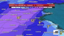
Snow totals: Many areas will see over a foot of snow through Tuesday with snowfall rates of 1-3 inches per hour for much of this afternoon and evening in southern New England.
Around 12-16 inches for western Connecticut, Metrowest and central Massachusetts, 6-12 inches in southern New Hampshire, Vermont, eastern Connecticut, the Pioneer Valley, Boston and most of Maine.
In the North Country and along the south shore of Massachusetts to Cape Cod, expect 3-6 inches, with a mostly rain event at the coast.
The snow consistency is slushy southeast, fluffy farther northwest.

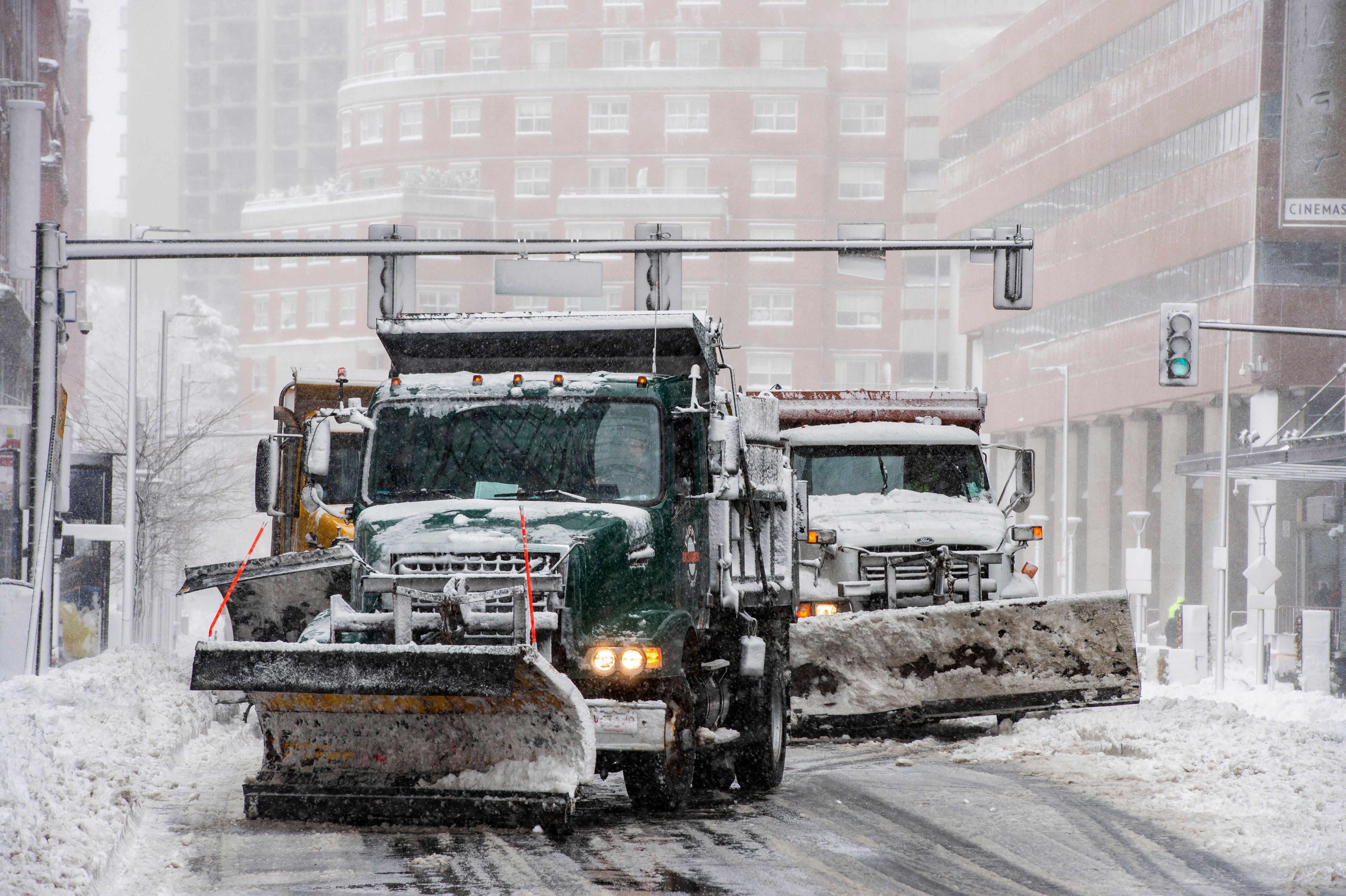
Snow emergencies, school closures: They've taken effect in several communities Monday, including Boston and Somerville, while others will go into effect later, like in Brookline.
Boston's went into effect Monday at noon, along with a parking ban. Mayor Marty Walsh urged Bostonians to take precautions on the roads and sidewalks, particularly during Monday evening and Tuesday morning commutes.
All Boston Public School buildings will be closed both Monday and Tuesday, the district announced. Students will attend classes online for partial days that will end 2.5 hours earlier than regular dismissal. In-person learning is scheduled to resume Thursday, Feb. 4.
School districts across the region announced remote learning days, early dismissal and closures anticipating what the major storm will bring to the region.
Click here for our full list of school closings/remote learning days.
10-Day Forecast: Snow showers linger into Wednesday with a northerly wind. We will be quiet by Thursday with a brief break before another system heads in Friday. This one will track northwest of us, so it looks like snow in the mountains and rain south as temps reach the 40s by then.


