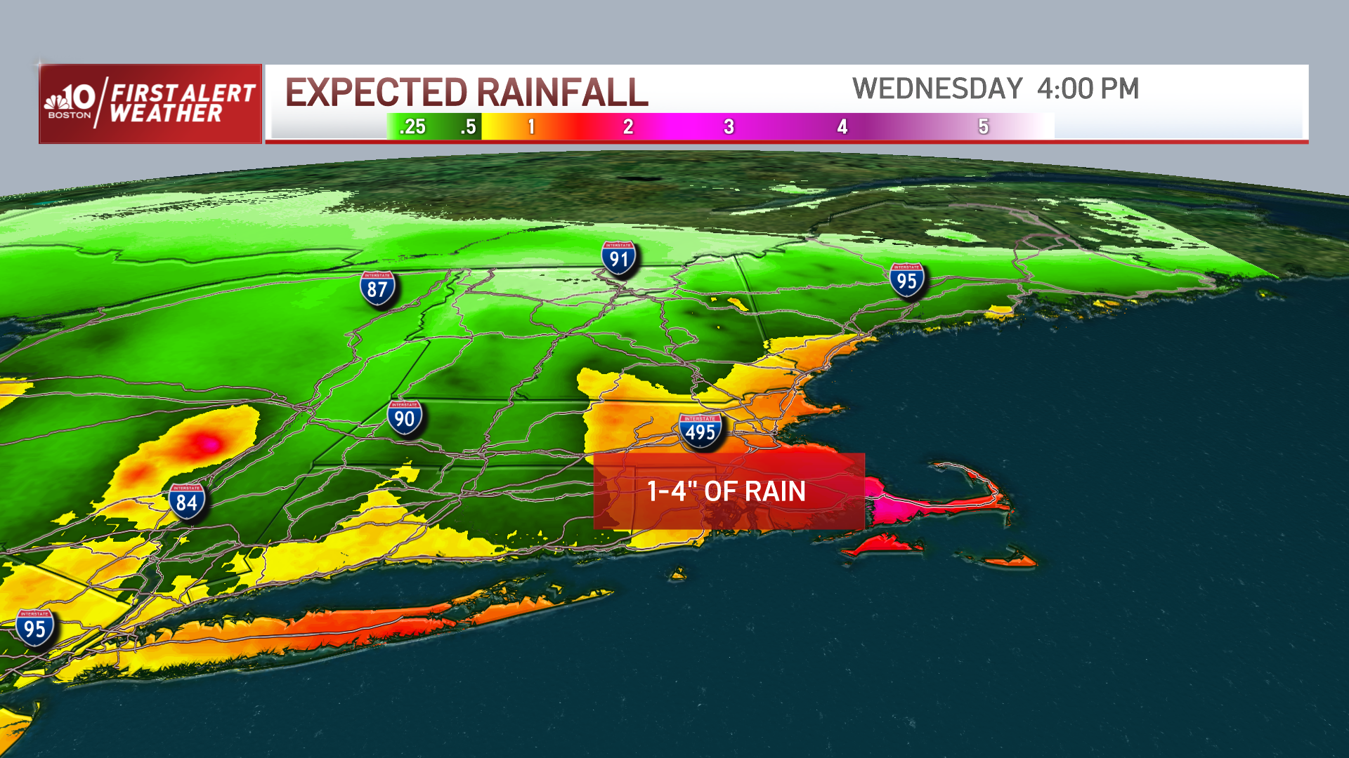
We’re in the final stages of an intense Nor’easter that brought damaging winds and locally heavy rainfall to the area overnight.
The good news is, as we head through the morning hours, we’ll finally start to see the rain taper off to showers and the winds ramp down somewhat as the center of the storm slowly pulls away from the region.
WATCH ANYTIME FOR FREE
Stream NBC10 Boston news for free, 24/7, wherever you are. |
Unfortunately, there will be plenty of cleaning up to do and power outages to deal with today.
Storm Coverage
Get updates on what's happening in Boston to your inbox. Sign up for our News Headlines newsletter.
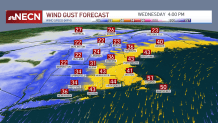
Northeast winds will gust over 60 mph early this morning along the eastern coast of southern New England and diminish this afternoon, but still gusting up to 40 mph through this evening!
The rest of the area will remain blustery as well, with some leftover showers around through this evening, especially across the Cape and Islands.

Highs today reach the mid 50s on average south, cooler across the Worcester Hills. Low to mid 50s central and northern areas with slightly cooler temps in Maine.

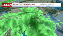
Quieter weather will be with us Thursday and Friday, but the weekend may turn unsettled once again as another area of low pressure arrives to New England from the west.
There's still some uncertainty in how much rain and wind the storm will produce, but it doesn’t look nearly as intense as the one we’ve just experienced. Nevertheless, we still need to watch it.

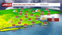
Temperature wise, we’ll be closer to seasonable levels both Thursday and Friday, in the 50s region wide, perhaps a bit closer to 60 degrees along the southern New England coast.
As we peek into Halloween, we may a couple leftover showers in the morning, but holding on to hope that the second half of the day will be dry!
Enjoy your Wednesday!


