The proverbial calm before the storm is equally the cold before the storm Wednesday. Some parts of northern New England started at subzero and highs won’t surpass 30 for most communities as clouds move in.
With a developing east wind, the cold across relatively warm ocean waters will create some ocean-effect flurries and snow showers for eastern Massachusetts over the course of Wednesday midday, afternoon and early evening. This will drop little more than a sugar-coating of snow in spots, but may trick those who are less weather-savvy into thinking the storm is starting early.
Instead, the shield of snow will arrive to New England from southwest to northeast Wednesday evening. It will reach southwest Connecticut by 5 p.m., most of southern New England between 6 p.m. and 10 p.m. and southern New Hampshire by 11 p.m., expanding farther north overnight.
Get top local stories in Boston delivered to you every morning. Sign up for NBC Boston's News Headlines newsletter.
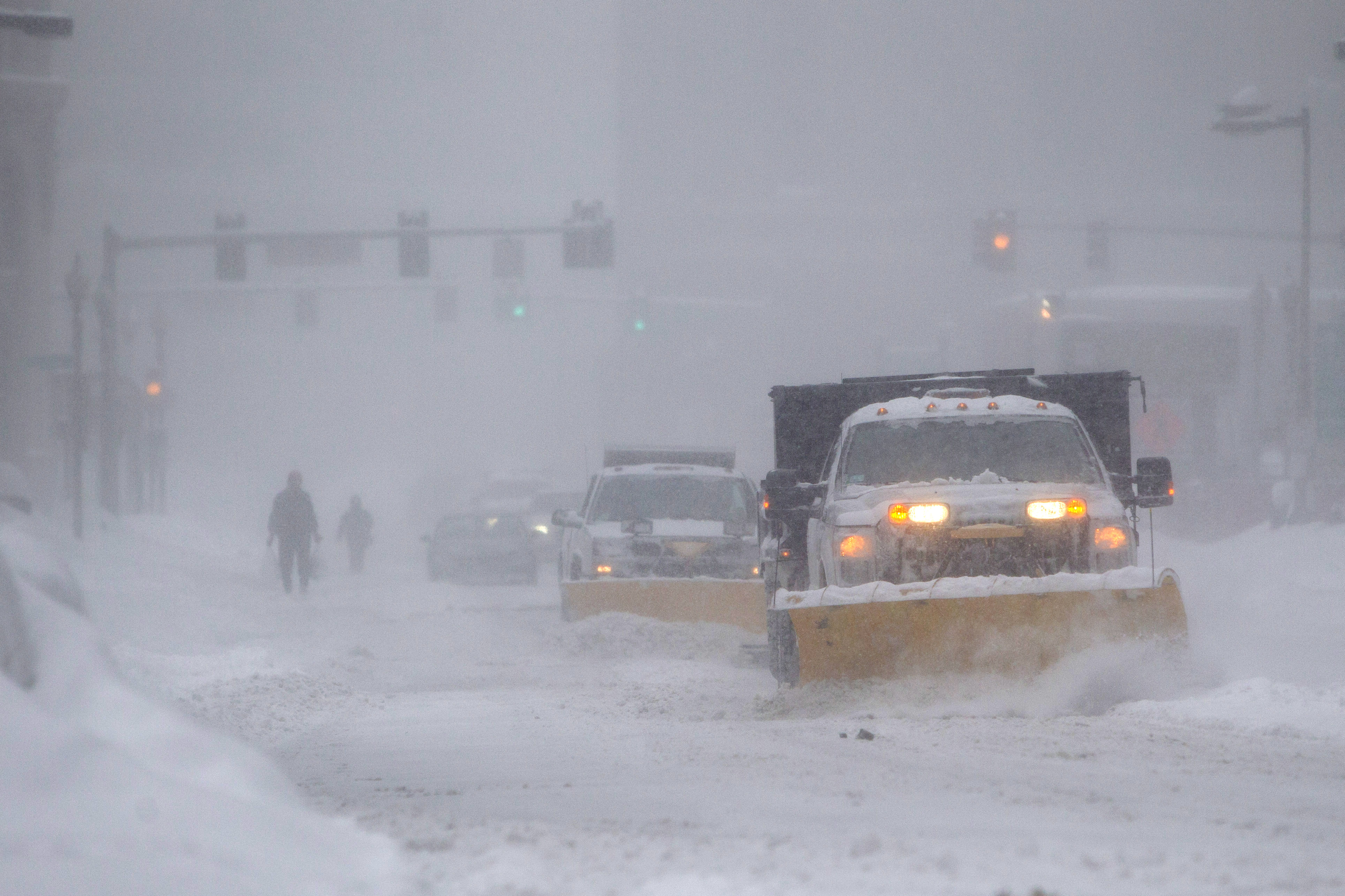
As wind increases, with gusts to 50 mph possible at the South Coast of Connecticut and Rhode Island overnight, blizzard conditions will be possible. Bursts of snowfall rates around two to three inch per hour will slowly shift east, bringing whiteout and possible blizzard conditions to the eastern coast of New England and southeast Massachusetts, north to York County, Maine, early Thursday morning.
As for snow amounts, the forecast remains rather consistent for about a foot or more in much of southern New England. Amounts drop to the north (and an interesting wedge of dry air may limit amounts in southeastern New Hampshire into northern interior Massachusetts). Cape Cod is also expected to see smaller snow totals, where a mix with and change to rain is anticipated Thursday morning after 2” on Nantucket and closer to 9” by the Canal.
It’s the Canal into Plymouth and Bristol Counties of Massachusetts where our First Alert Team is most concerned about power outages due to heavy, wet snow and northeast to north wind gusts to 45 mph. Farther north, the wind will gust equally on the North Shore (and closer to 35 mph inland) but a lighter consistency snow will limit power outage potential.
Although coastal flooding is possible at a midday high tide, it’ll be minor and limited to typically vulnerable spots during a nor’easter. By Thursday late afternoon, the snow will be light and clean-up will be underway.
Friday through the weekend delivers sun into Saturday, then clouds with night snow and rain showers Sunday. But the sun to start the weekend will help to melt off areas that have been scraped down. Christmas Eve and Christmas Day feature a chance of rain and snow on the 10 day - we’ll keep you posted.


