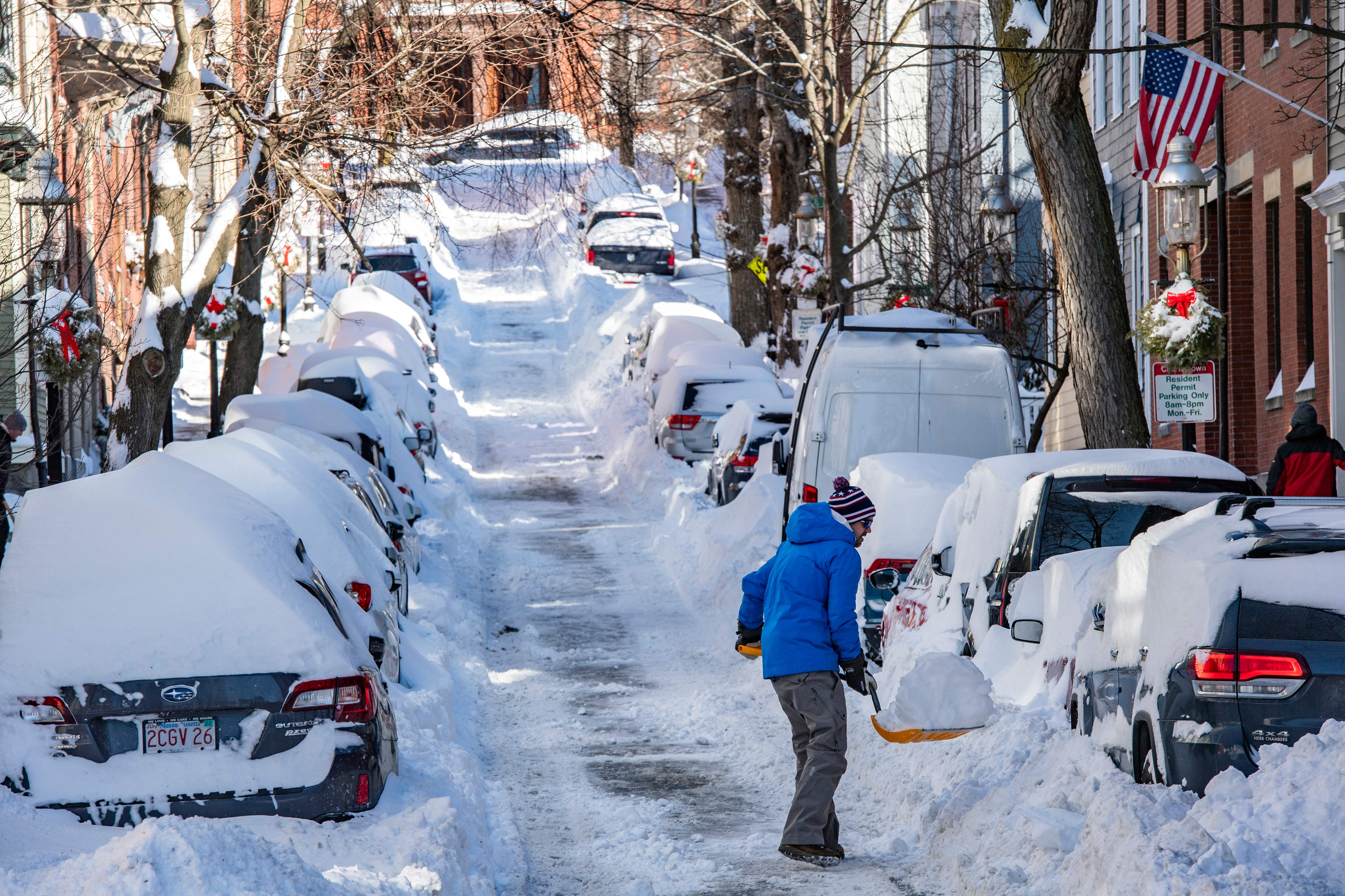
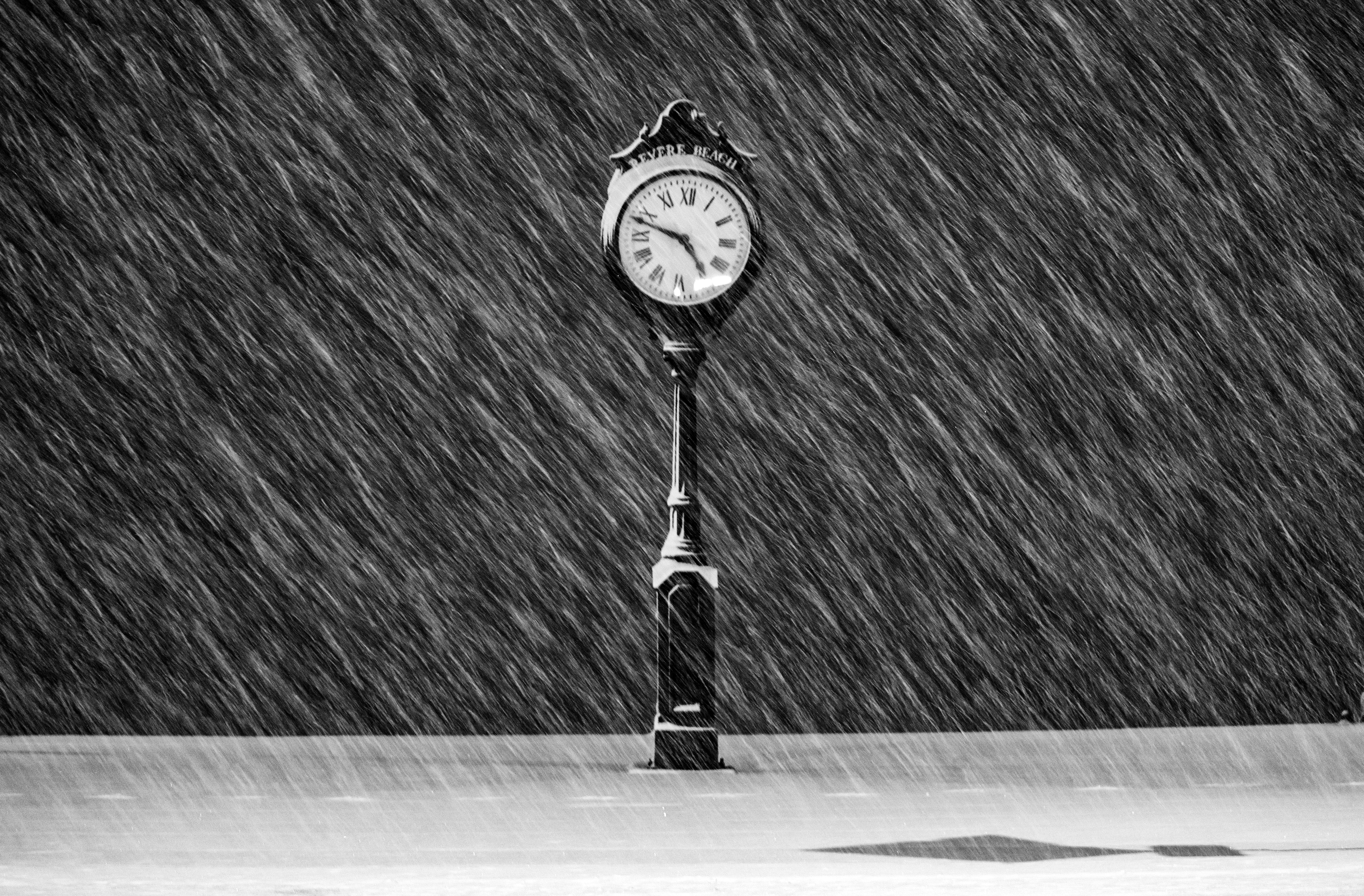
Our coastal low passing east southeast of us Wednesday morning brought showers across the Cape and Islands transitioning into a chilly afternoon and evening.
Snow has fallen upon the Berkshires and the Litchfield Hills bringing visibility to 1.5 miles.
WATCH ANYTIME FOR FREE
Stream NBC10 Boston news for free, 24/7, wherever you are. |

There remains the possibility of additional snow mixing in, especially in higher terrain areas from late morning to early afternoon as temperatures aloft and near the surface may still allow for some wet snow, although no accumulation expected in those areas across central Massachusetts since drier air fills in resulting in slowly clearing skies by the second part of the afternoon.
Get updates on what's happening in Boston to your inbox. Sign up for our News Headlines newsletter.
An area of high pressure is sitting off to our west pivots into New England overnight allowing for clearing skies and a drop in temperatures that will lead us to lows in the 20s and 30s. Strong radiational cooling will lead to freezing conditions overnight for some areas especially west and north of New England.

Dry and quiet conditions will continue on Thursday with temperatures trending upward, as we’ll be enjoying mostly sunny skies through the afternoon and into the weekend. This will lead to a slow but steady rise in temperatures throughout the next few days. Going from the upper 40s Thursday to near 60 by Saturday.
Sunday will increase clouds and the chance of rain as our next low will welcome unsettled weather back to the picture. Although, as this low likely remains in Quebec, Canada, our showers will likely remain confined upon the north country.

Tuesday of next week will offer a better opportunity for showers to march in as another low this time will hover over New England pushing in more moisture with a higher chance of rain in southern New England and snow north.
The overall trend is for temperatures to start in the 60s early next week and dropping to the 40s as we wrap it up.


