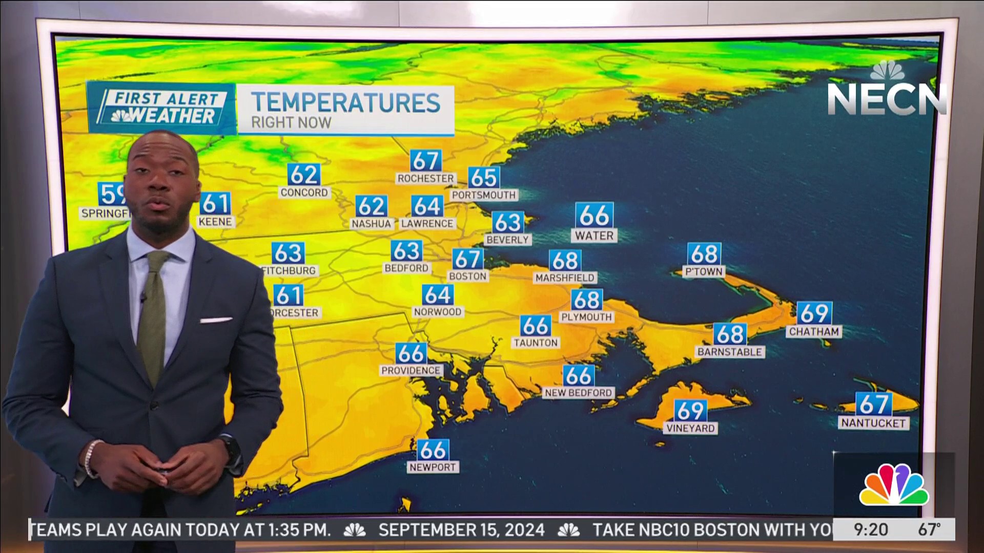
Mild temperatures have arrived today courtesy of high pressure east of the region. A southerly wind flow will help push temperatures into the low 50s with variable amounts of clouds this afternoon.
A warm front will be lifting through the region which may trigger off a stray sprinkle or two, but most will remain dry. Highs top out in the low 50s across the Boston area, 40s north and west, 30s northern Maine.
STAY IN THE KNOW
Watch NBC10 Boston news for free, 24/7, wherever you are. |
|
Get Boston local news, weather forecasts, lifestyle and entertainment stories to your inbox. Sign up for NBC Boston’s newsletters. |

Overnight, clouds will thicken up a bit with a stray shower/sprinkle possible towards daybreak southern areas, some patchy fog may develop. Lows drop into the 30s and 40s.
Get top local stories in Boston delivered to you every morning. Sign up for NBC Boston's News Headlines newsletter.
Besides the expected high temperatures reaching the low 60s Sunday afternoon across the Boston area, the bigger story Sunday is an approaching storm system which will bring heavy rain, damaging wind gusts, and coastal flooding to portions of the areas Sunday night into Monday morning. A First Alert has been issued Sunday night & Monday.

When will the storm get to New England?
Weather
The first half of Sunday looks dry, except for western portions of New England where rain will be breaking out. By the second half of the day, rain showers will be entering the Boston area and will shift north and eastward during the evening hours…wind will also be on the increase out of the south. Highs reach the upper 50s to low 60s south, mid 40s to low 50s north.
An intense area of low pressure will develop south of New England Sunday night and track over southeastern Mass early Monday morning before exiting through eastern Maine Monday afternoon.

Strong southerly winds, heavy rain, & embedded thunderstorms will accompany it resulting in localized flooding, damaging winds along the coast (power outages likely), and heavy wet snow western and northern areas. Snow develops late Sunday night into Monday morning as colder air works in from the west.
South winds will be a big factor, especially along south facing shorelines where gusts may reach 50-60 MPH likely resulting in some power outages…an early morning high tide coincides with the peak winds which may result in flooding along some of our south facing shorelines.

About 1-2” of rain is expected with locally higher amounts, most of which fall Sunday night into early Monday morning. In terms of snowfall, western areas of New England, including the Berkshires look to receive a about 3-6” of snow with northern Vermont, northern New Hampshire, and northwestern Maine receiving 8-12” of snow.
Still some wiggle room in snow totals due to the timing of cold air moving in behind the storm as it tracks through New England. Precipitation cuts off rather quickly from south to north Monday morning into the afternoon along with gusty west winds which will usher in cooler temperatures and drier air during the course of the day. Cooler, more seasonable temperatures follow through the mid-week which is featured on our Exclusive 10-Day forecast.

Have a great Saturday!


