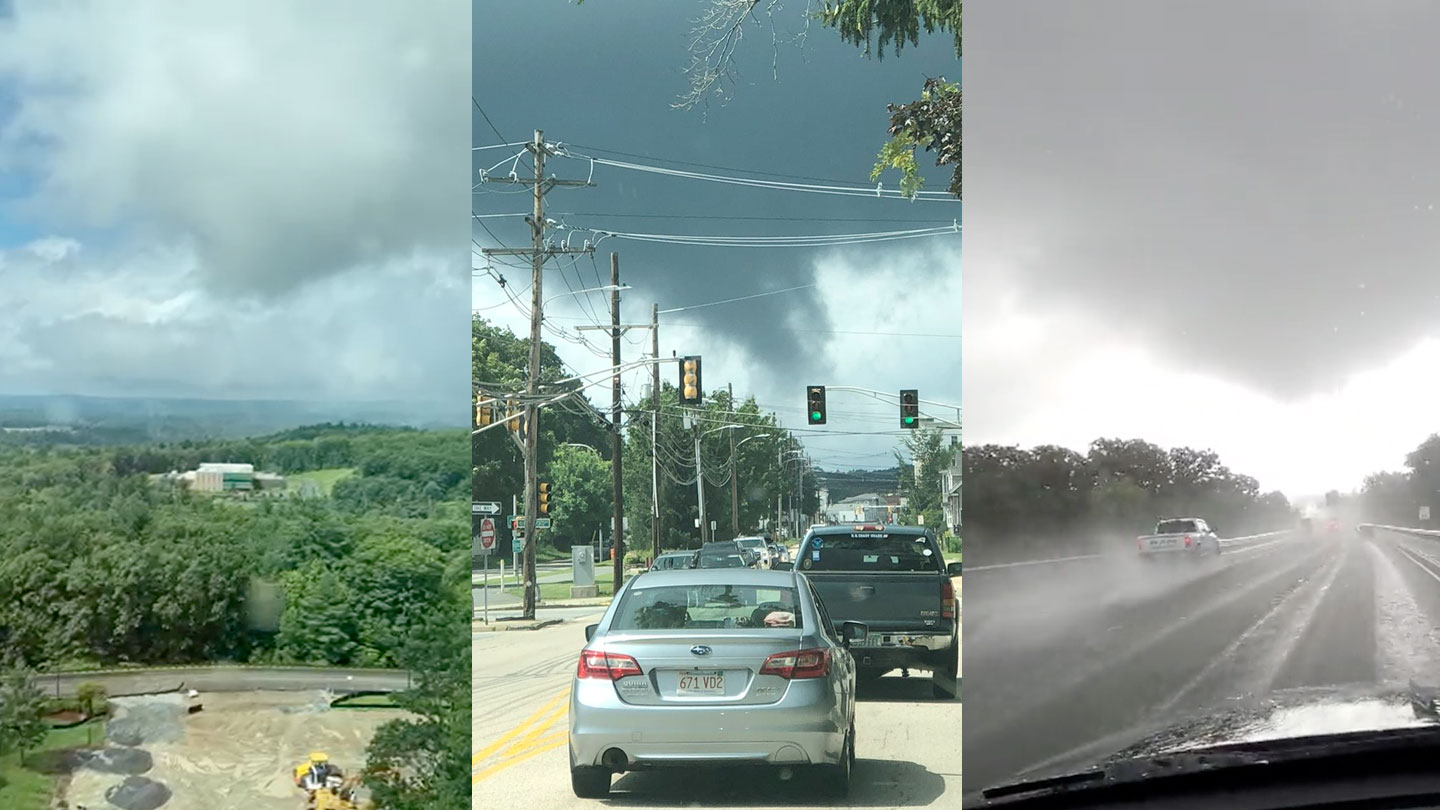
For a storm that virtually dissipated overnight, Henri’s reincarnation on Monday was almost as eventful as its landfall.
Three tornadoes were confirmed Monday afternoon as the upper-level storm system/remnants known as Henri came roaring back across southern New England.
WATCH ANYTIME FOR FREE
Stream NBC10 Boston news for free, 24/7, wherever you are. |
The cells that preceded the big band of rain that arrived in the evening were small and quick. Yet they spun up these weak tornadoes between 11 a.m. and 1 p.m.
Get updates on what's happening in Boston to your inbox. Sign up for our News Headlines newsletter.
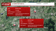
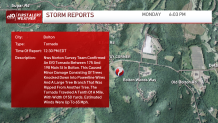

Thankfully, there were no injuries and the damage was very light. Not surprising for these marginal tornadoes that rank at the bottom of the Enhanced Fujita Scale.
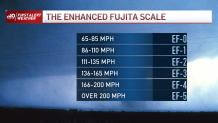
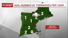
Typically we see two tornadoes per year in the commonwealth and one in New Hampshire, so on Monday, we had more than our fair share.
Now comes the rain. Same old story, but this is Henri’s grand exit, one that sets us off in a new, rain-free direction for the next few days.
Despite the fact that the remnants are weak, we could still see some intense rain and spotty flooding. Most areas stay under an inch, but others may top an inch or even receive over two inches in isolated cases.
There will be a quick exit to the water and clouds Tuesday morning. Highs will rebound into the 80s as the humidity lingers.
We’re getting worse in that respect in the coming days: Heat will culminate in the 90s on Wednesday and Thursday, with heat indices climbing into the mid-90s on Thursday.
Relief is inbound on Friday. Heat and humidity take a back seat into the weekend as a much more refreshing airmass takes hold.

