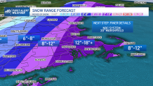
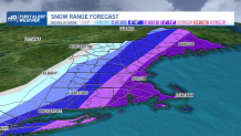
As our impending winter storm closes in, there are a few major themes that haven’t changed: track is critical, heavy snow is likely and a high impact winter storm remains the most likely forecast.
When will it start snowing in Boston?
WATCH ANYTIME FOR FREE
Stream NBC10 Boston news for free, 24/7, wherever you are. |
Let’s start with the high-impact: if the forecast verifies as we see it now, light snow will start Friday night, intensifying predawn Saturday and continuing until Saturday night.
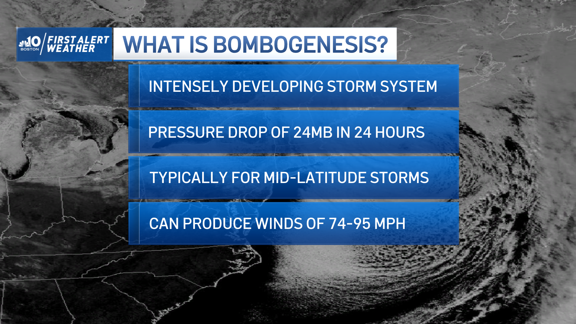
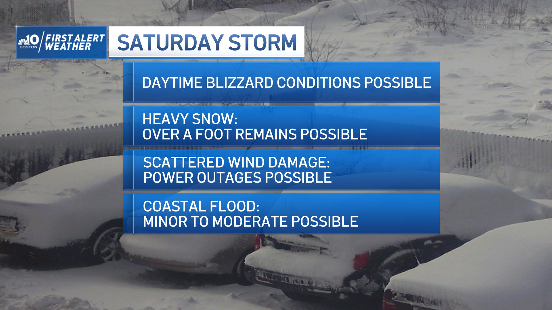
Over a foot of snow will fall for many (and we may come closer to two feet for some), wind gusts at the immediate coast will exceed 60 mph Saturday morning through early afternoon with scattered outages and potential blizzard conditions and minor to moderate coastal flooding will occur at the morning and evening high tides Saturday.
Get updates on what's happening in Boston to your inbox. Sign up for our News Headlines newsletter.
How much snow are we getting this weekend?
The track could shift, which would impact exact amounts and details of impacts, but at this point is unlikely to negate the storm entirely for eastern New England, which is why we continue to encourage preparation for the most likely scenario of a significant winter storm.
The finer details will become apparent in the next 24 hours – for example, even if our overview forecast is correct, where will the highest amounts be and just how high will they be? Some of that will depend not just on storm track, but also on where any coastal front sets up – the clash between warmer ocean air and cold air over land – while some will depend on temperature and moisture conditions high in the sky that are nearly impossible to nail down this far out.

We’ve noted on air that our exclusive NBC10/NECN forecast system is producing 20 inches of snow over Marshfield, which in no way should be taken literally for that town, but rather should represent the potential that some communities may be much closer to two feet of snow than one if all goes as planned.

Strong winds, power outages likely
The wind will be worst within 15 to 20 miles of the coast where the greatest number of power outages will result, but even gusts over 35 mph at times inland will bring bouts with near-blizzard and blizzard-like conditions and at least some widely scattered power outages, with that wind certainly contributing to blowing, drifting and reduced visibility.
Travel will degrade considerably between 5 and 7 a.m. Saturday and will become nearly impossible if our current prediction of one to three inch per hour snow combined with gusty wind is correct.
The tide level will be highest in the morning when it comes to influence from the moon, but the ocean won’t be too roiled then, building to 15 to 25 foot seas during the afternoon to evening, likely making the storm surge worse for the evening tide and likely resulting in minor to moderate coastal flooding.
Digging out
We still expect the storm to wind down gradually overnight Saturday night, gone for Sunday, though digging out will be the theme, made a bit more difficult by blowing and drifting in a busy northwest wind, with those powerless in a difficult circumstance due to high temperatures only in the 20s Sunday.
Next week starts quiet and ends up with a thaw by Wednesday and Thursday in our exclusive First Alert 10-day forecast. Should anything with this forecast change – and it might – we’ll be the first to update you on-air and online.


