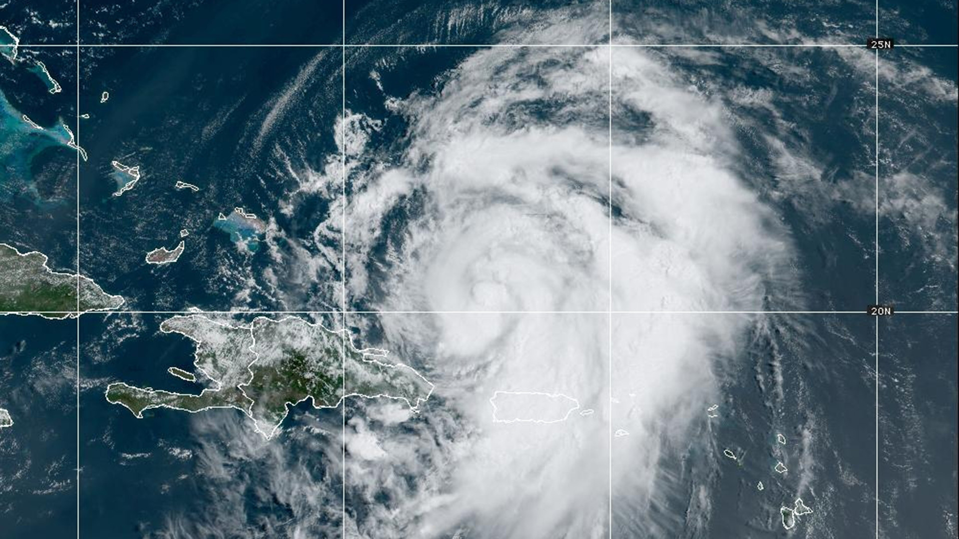
If you’re heading to the beach this weekend, heads up! Hurricane Ernesto will bring dangerous rip currents and high surf to southern New England.
While the storm is not expected to make landfall over the U.S. in the coming days, our south facing beaches could still see rough conditions.
WATCH ANYTIME FOR FREE
Stream NBC10 Boston news for free, 24/7, wherever you are. |
As Ernesto spins north over the Atlantic Ocean, the storm will create a swell in the ocean that might make you think twice before getting into the water.
According to the National Oceanic and Atmospheric Administration (NOAA), the term “swell” refers to wind-generated waves that travel out of their area of origin, in many cases – a storm. The waves that are created can travel great distances from a storm, sometimes thousands of miles, unchanged in height and period (the gap between one wave to the next).
Get updates on what's happening in Boston to your inbox. Sign up for our News Headlines newsletter.

The waves created by the swells can cause a tremendous amount of water to push onto beaches and around nearby sandbars that can cause rip currents to form.
Rip currents, which are strong, shallow channels of water that flow through breaks in a sandbar, will often pull you away from the shore, in varying speeds depending on the amount of water being pushed onto the beach from the waves or the tidal cycle.
So, with Ernesto churning north in the ocean this weekend, it’s very important to be alert before getting into the water.
If you find yourself caught in a rip current, don’t panic! Also, don’t fight against the current. Instead of trying to swim directly to shore, swim parallel to shore, and then once you feel the grip of the rip loosen, then swim back to shore.
Rip currents and high surf could linger into early next week for southern New England as the storm tracks toward the Canadian Maritimes.

Stay with your NBC 10 Boston First Alert Weather Team for further tropical updates this season.


