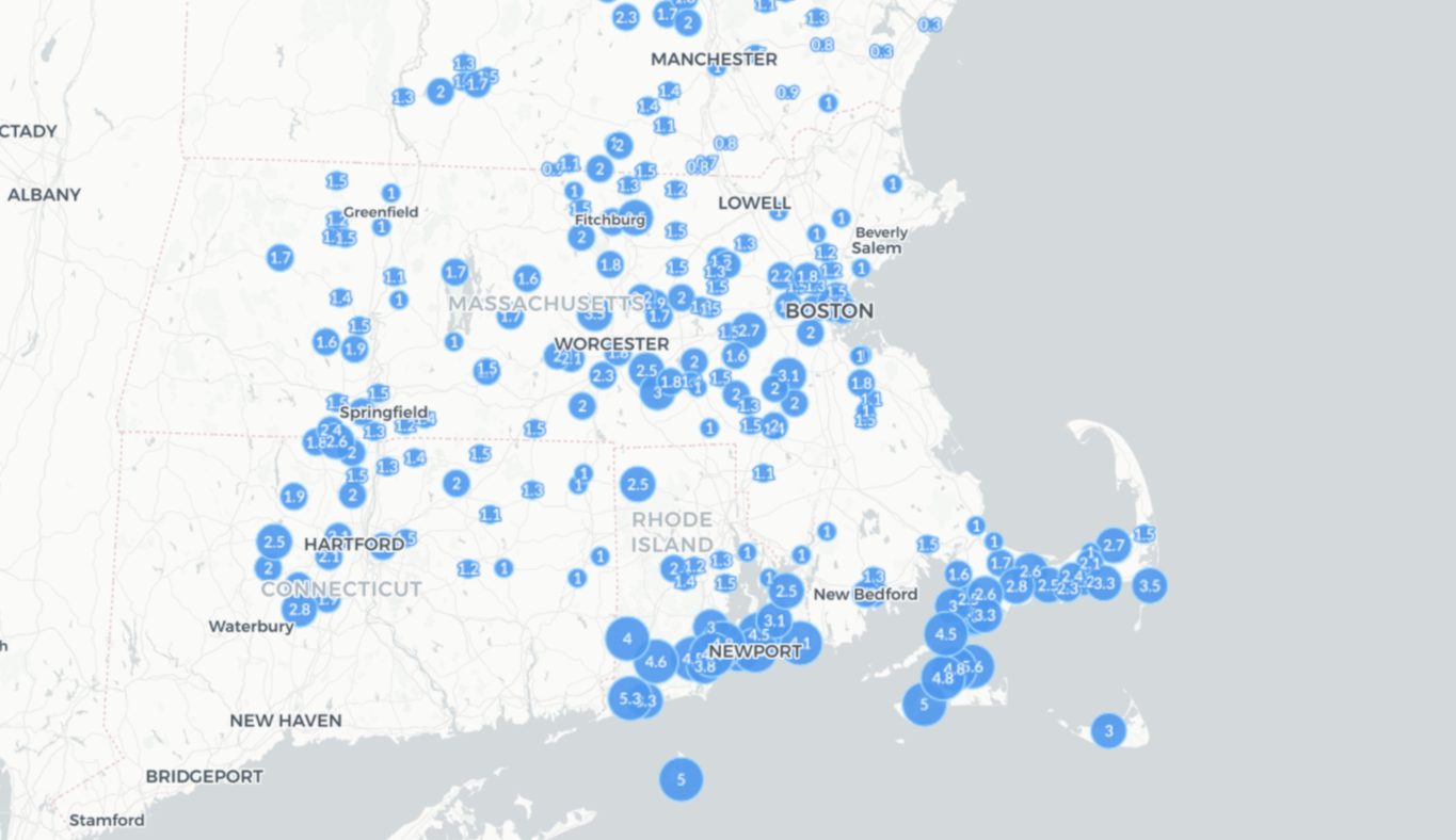
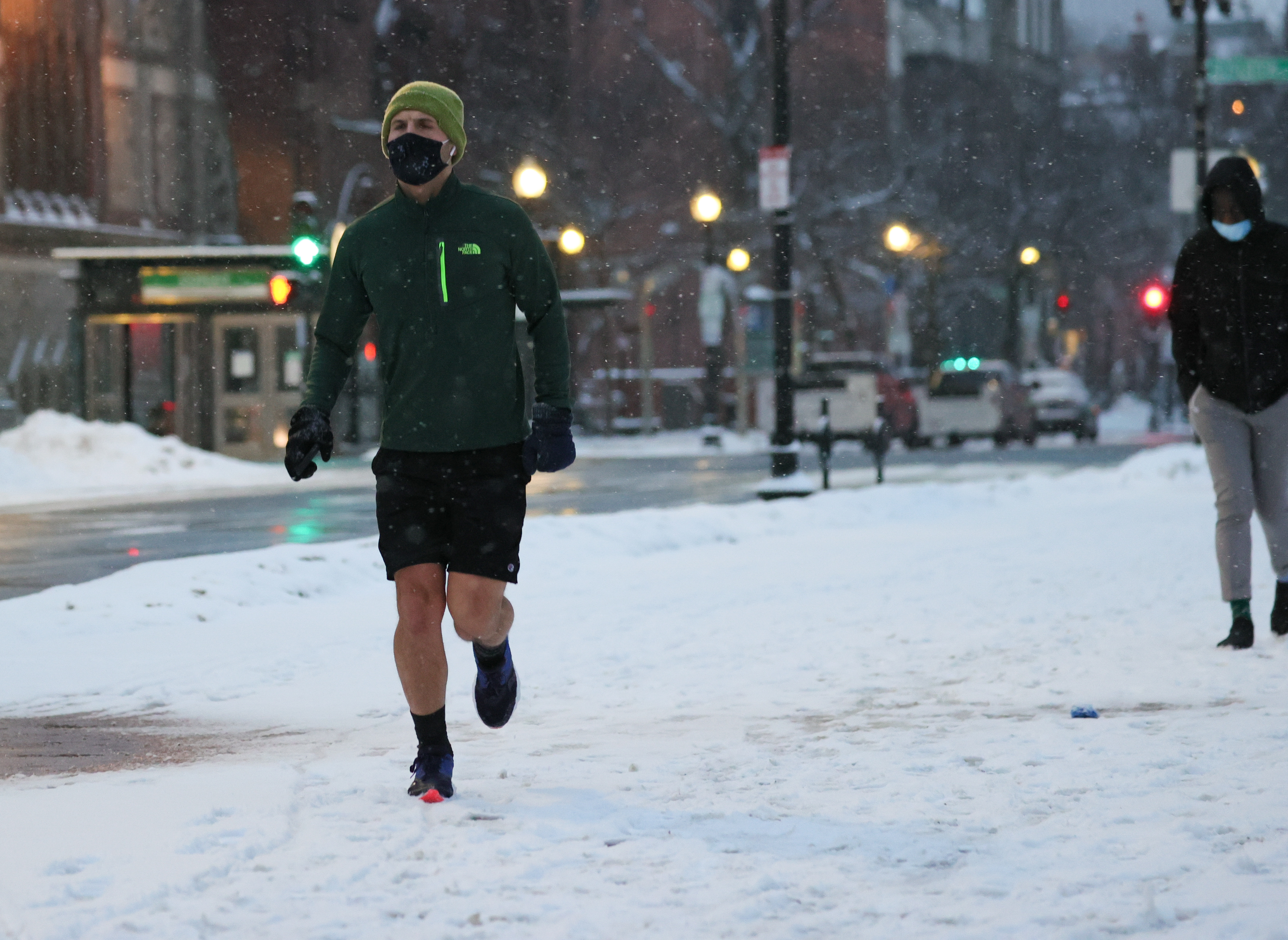
It's a beautiful winter day in New England with occasional light snow showers and accumulations of less than three inches over many locations.
Road crews have been able to keep up, and we shouldn’t have too many issues with the evening commute.
WATCH ANYTIME FOR FREE
Stream NBC10 Boston news for free, 24/7, wherever you are. |
Snow will pick up in intensity at times, especially near the coast where a coastal front interacting with the ocean breeze will create locally heavier bursts. This is where 1-2” of additional snow is possible.
Get updates on what's happening in Boston to your inbox. Sign up for our News Headlines newsletter.
As the wave pulls away, snow will taper off from west to east, ending in western New England by dinnertime and in central Massachusetts by midnight.
Temperatures will drop into the teens and 20s Friday night so roads will ice up as snow breaks into intermittent snow shower. Drivers should use caution into Saturday morning for black ice.
Our weekend begins with a few snow showers especially across eastern New England and into the mountains but breaks of sun are in the forecast with temperatures holding in the 30s with a breeze out of the northeast that will keep wind chills values around 20.
A dome of high pressure settles over the region Sunday bringing lots of sunshine with not much of a wind so it will be a pleasant late winter day. Perfect conditions to hit the slopes!
Snow Coverage
Rain and snow return Monday as a disturbance moves in from the Great Lakes and this time around it is short lived so it will be gone by Tuesday morning with a change in the airmass. Behind that storm, milder air surges north with highs in the 40s.
As of now, there’s a chance cooler air returns at the end of our exclusive First Alert 10-day forecast with the potential for more rain and snow.


