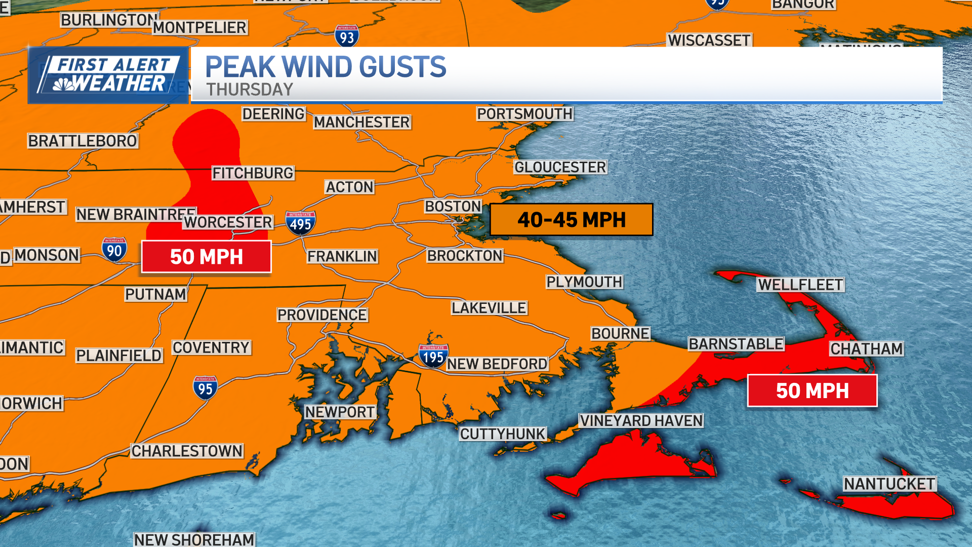
A violent thunderstorm complex, known as a Derecho, just missed New England earlier today.
The complex originated near Buffalo, New York, at 8 a.m., then roared across the states of Pennsylvania and New Jersey this morning and afternoon. Wind gusts approached 90 mph at times leaving a path of damage hundreds of miles long and thousands without electricity.
There were little heads up for the power, placement and timing of the system in our weather guidance.
For Wednesday afternoon, sprinkles and light showers may arise on occasion and clear by night.
We are on the edge of record cold in southern Canada and record heat across much of the contiguous continental states. Though most of us are in pretty good shape with a warmer and more humid mix of sun and clouds.
We need to pay close attention to our weather apps and radars as any storm can increase rapidly with damaging wind, lightning and intense rainfall.
Weather Stories
Storms tend to dissipate at night, but we need to stay on our toes at all times the next few days the unusual set up with one wave of low pressure after rippling close by in New England through Saturday.
Humidity won't be overbearing but will be noticeable Thursday and increasing Thursday night and Friday as a southwest wind locks in a summer airmass that will drive temperatures to either side of 90 degrees Friday.
While a late day or evening thunderstorm is possible Friday – particularly over deep interior southern New England – storms don't appear to be a widespread issue for Friday.
Humidity continues building into Saturday when the approach of a more significant cold front drives up the likelihood of showers and thunderstorms in the afternoon as high temperatures top off in the 80s.
New air from Canada arrives Sunday with less humid, cooler winds from the north, but still, energy aloft keeping at least the low chance some fair-weather clouds may bubble just enough for a scattered afternoon shower or two.
Next week starts quiet and comfortable ahead of a return of warmer, more humid air with a return of elevated thunderstorm chance toward the end of next week in our exclusive First Alert 10-day forecast.


