Thursday night: Sticky, showers end. Lows around 70. Friday: Mostly cloudy, chance shower, humid, warm. Highs in the mid-80s.
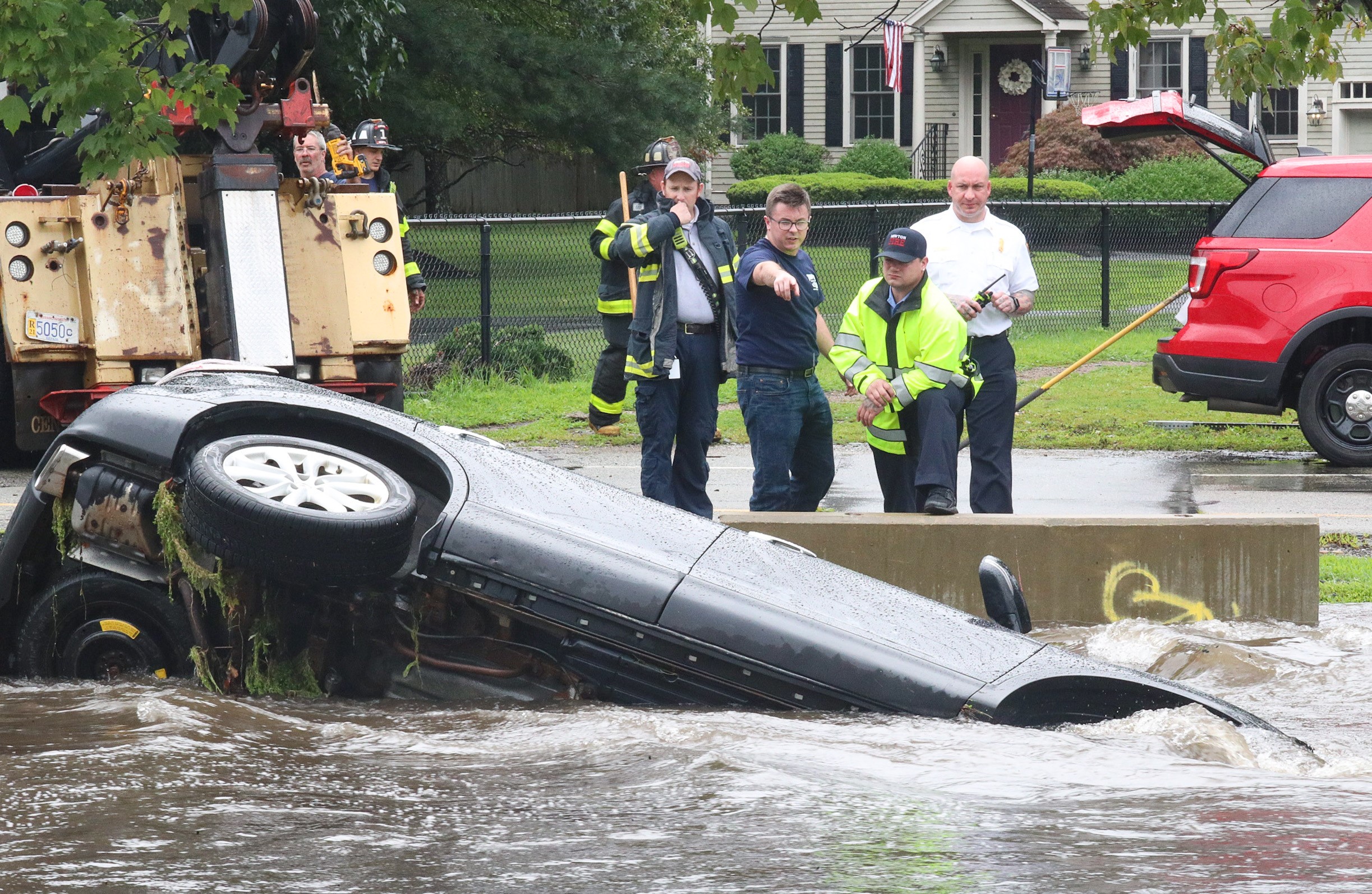
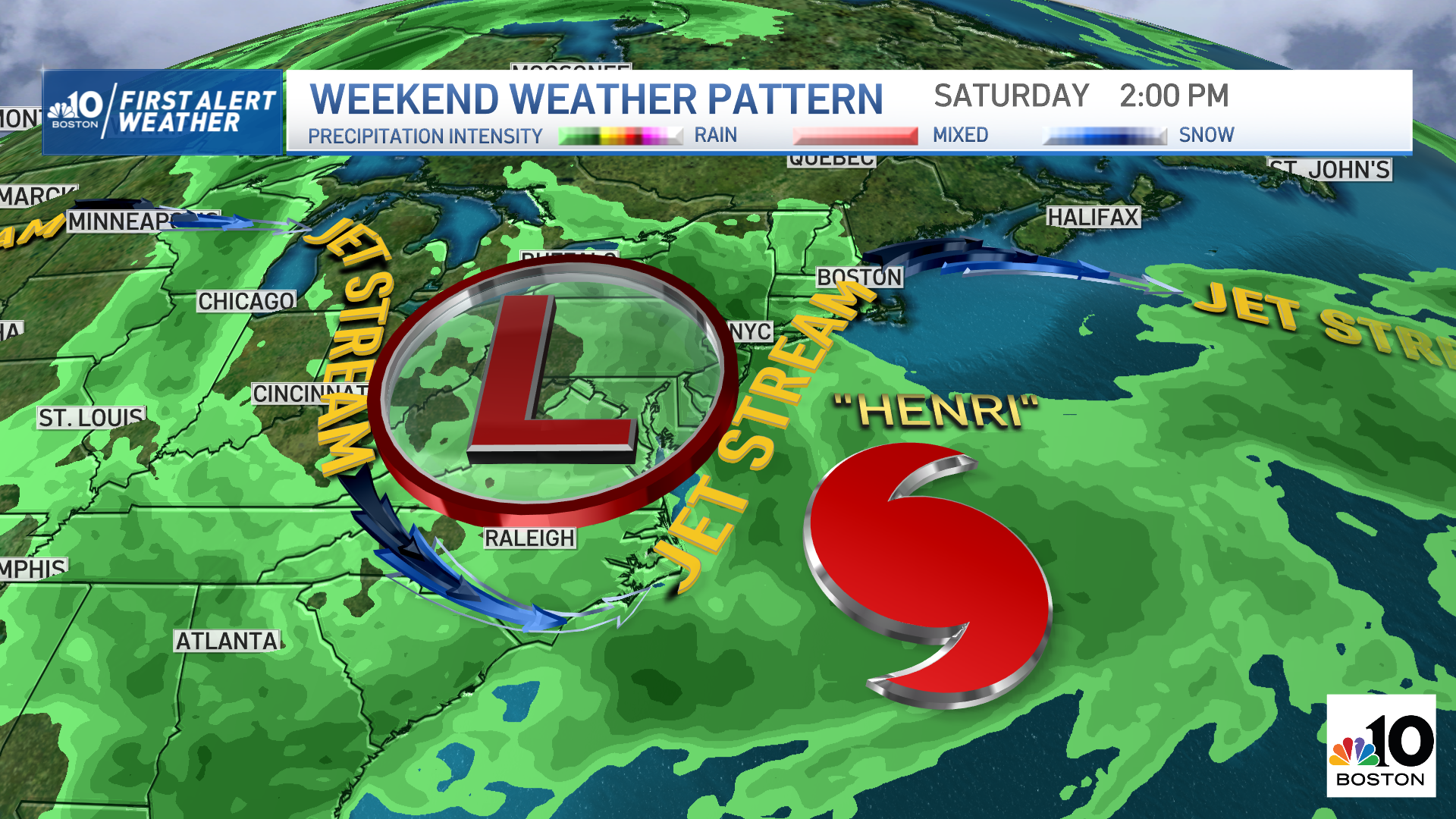
After a very busy day dealing with severe thunderstorms, flooding and tornado-strength warnings caused by the remnants of Tropical Storm Fred, our eyes are now focused on another storm headed our way: Henri.
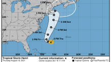
We continue to monitor its path as its projection keeps shifting closer and closer to New England. At this point, we’re expecting the effects of Henri by the end of this weekend and into Monday as a Category 1 hurricane.
WATCH ANYTIME FOR FREE
Stream NBC10 Boston news for free, 24/7, wherever you are. |
Hurricane watches will likely be issued for parts of southeastern New England by Friday morning as this system becomes more organized and we have a cleaner vision of its trajectory.
Get updates on what's happening in Boston to your inbox. Sign up for our News Headlines newsletter.
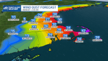
As of now, the highest threat is for Cape Cod and the Islands. The main hazards include damaging wind gusts of more than 40 mph, as well as storm surge flooding, significant beach erosion along the coast, high surf and rip currents as soon as Saturday. But if Cape Cod and the Islands receive a direct impact, the wind speeds will be stronger and may reach close to 80 mph.
For mariners, it's important to emphasize the dangerous marine conditions that we’ll have as the tropical system moves closer, with rough seas, strong wind gusts and high waves.
Inland, we may see the potential of 3 to 6 inches of rainfall, with up to 8 inches in the most affected areas -- those are usually on the western side of a tropical cyclone’s path. The strongest wind speeds, however, will will focus on the east-northeast side of Henri.
Your First Alert Team will continue to track and keep a close eye on Henri as the system continues to develop. Tune NBC10 Boston and NECN for the latest updates.