And now for our second act of winter: gusty winds and a numbing wind chill.
Even though a front crossed last night with another dose of heavy rain, the drought isn't over, but it has been hobbled. The cold air is pouring in once again.
Unlike our last mellow drift to subfreezing temps post-snowstorm, this is more in-your-frozen-face kind of cold with wind gusts topping 40 mph at times. All. Day. Long.
Get top local stories in Boston delivered to you every morning. Sign up for NBC Boston's News Headlines newsletter.
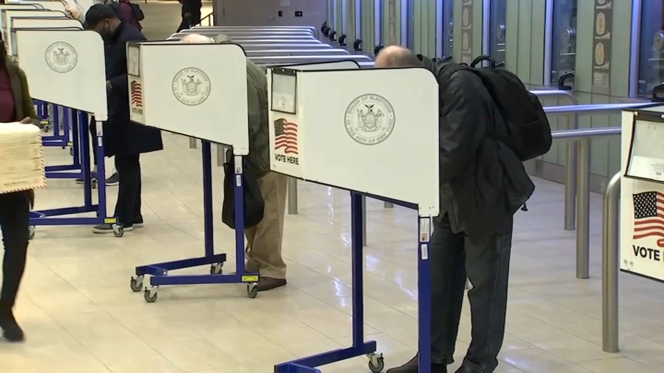
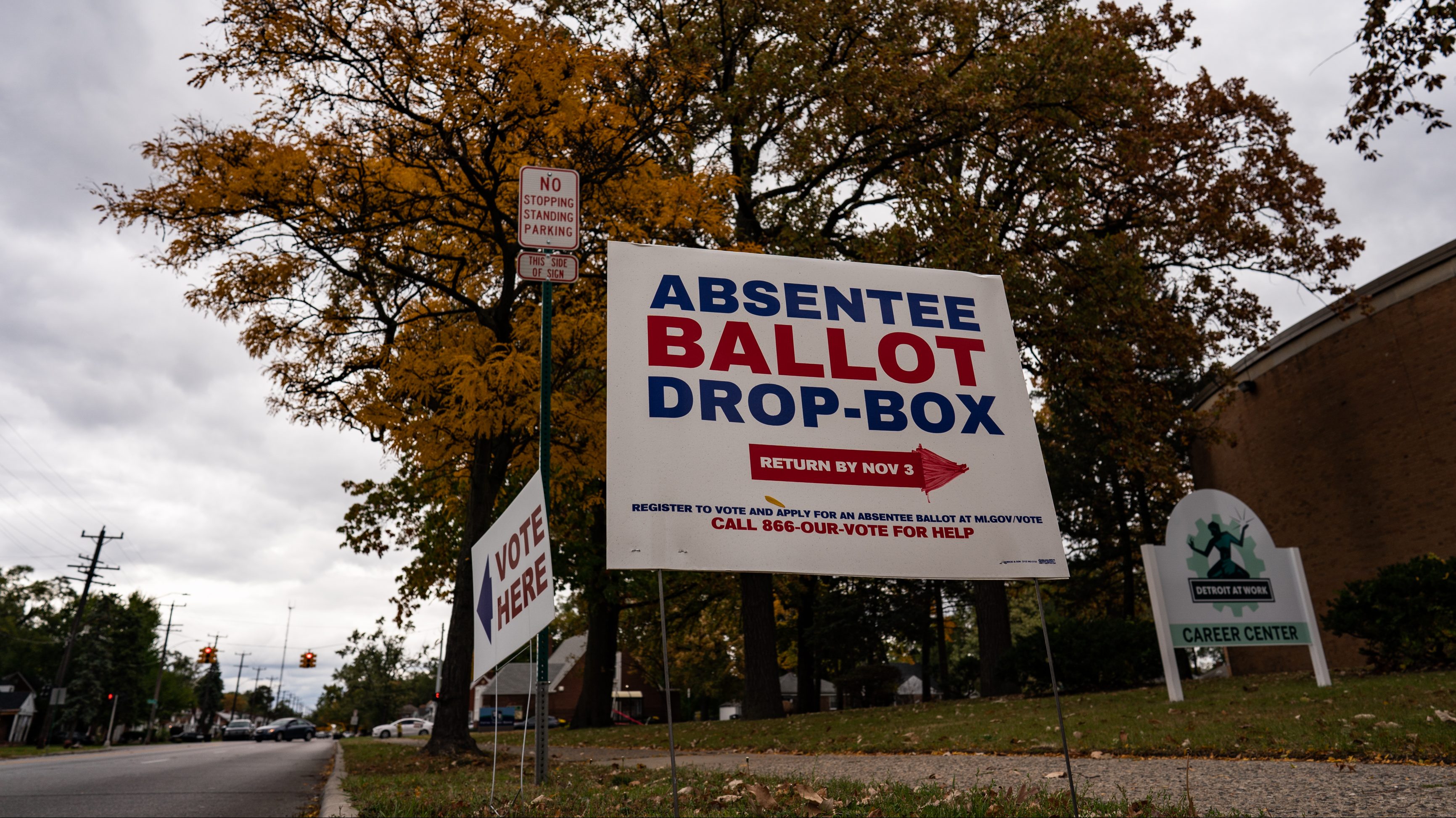
As you might imagine, with this kind of long-lasting wind we might see a few power outages today and tonight. Thankfully, with a progressive flow in the jet stream, the winds will ease late tonight and into tomorrow. Still cold at the polls tomorrow, so dress in layers for extended stays outside.
May want to marvel at the long shadows from the low sun angle, too. We’re entering what we consider the solar winter, where the nights are at their longest of the year (conversely the daylight is the shortest…spin was intentional).
Obviously, the cold goes hand-in-hand, but you’d have a hard time convincing the extended weather maps of that. While the next two days are a solid 10+ degrees below normal, the tide turns after Wednesday with a major pattern shift in the upper atmosphere.
We’ll be sitting pretty (warm) well into next weekend as a result. Storms take a break too. Confidence is running high all across our weather guidance, so this something you can bank on. (Nod to the wombie-eyed sceptics out there after Friday’s snow.)
Now get out and vote!


