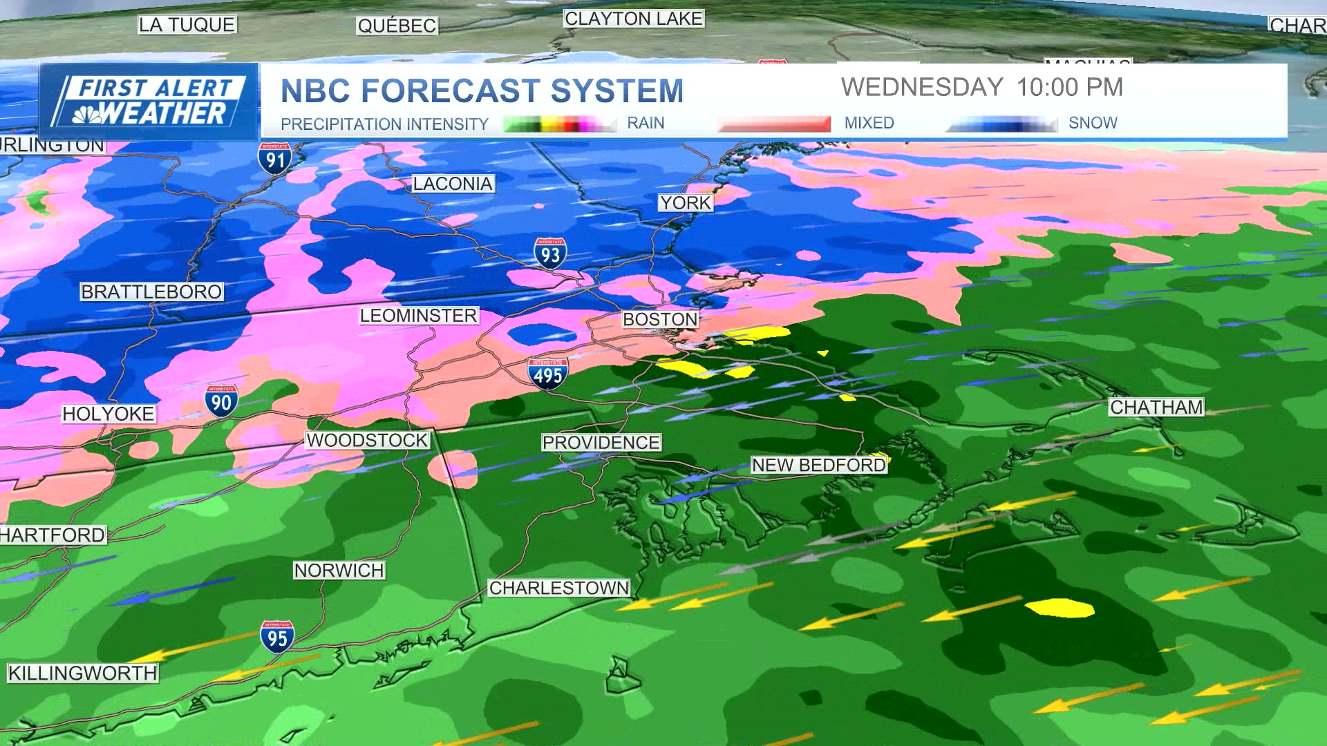
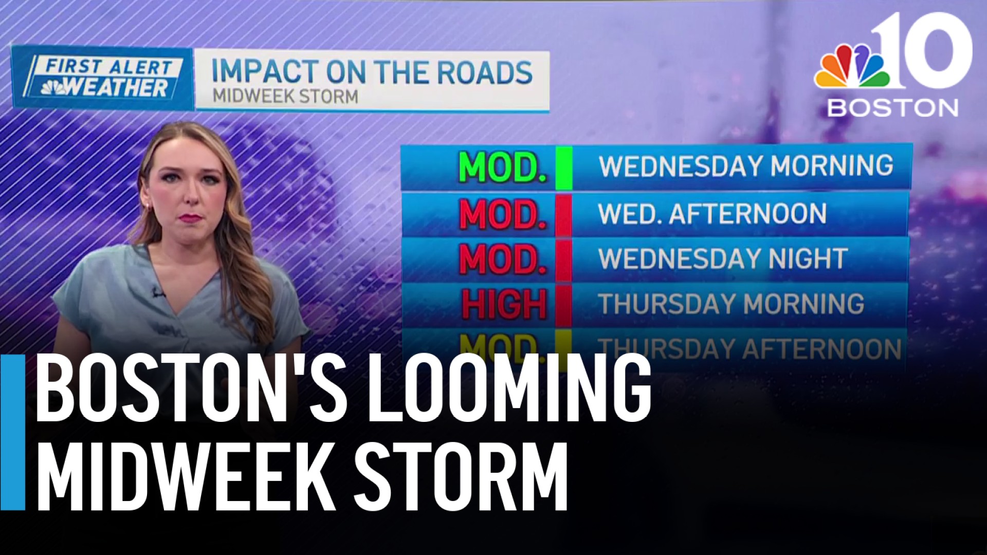
April's first winter storm is knocking at our door. Here's how it will play out — and scroll down to explore interactive radar.
Rain
WATCH ANYTIME FOR FREE
Stream NBC10 Boston news for free, 24/7, wherever you are. |
Light rain began Wednesday morning in scattered pockets across the Greater Boston area, with downpours by the evening. The steadier rain will be reserved for the afternoon and evening drive. This is when rainfall rates will near half an inch per hour though Boston and the south coast.

Get updates on what's happening in Boston to your inbox. Sign up for our News Headlines newsletter.
Live radar
Wind
Winds will crank to 50-60 mph along the coast.
Because of the nature of the winds pushing the ocean onshore, there will be minor pockets of splashover across coastal roads.
Thursday morning will still be breezy, with gusts between 30 and 45 mph. By the afternoon, they drop to about 20 mph, and the direction changes, from the northwest. This is when the storm will have peaked in intensity and the temperatures dip down to the low 30s into the Worcester Hills and across southern New Hampshire.
Get updates on what's happening in Boston to your inbox. Sign up for our News Headlines newsletter.
Snow
The snow will likely be greatest in New Hampshire and southern Vermont. In central Massachusetts, rain could mix with and change to snow in some.
Flooding
Although our storm isn't hitting during the high astronomical tides of the month, the storm surge of 2-3 feet could make up the difference and give us minor coastal flooding, but with most locations still passable.
Storm to move out Thursday
The storm begins to weaken by Thursday afternoon, and our best chance at accumulating snow will be long gone by then.
The greatest accumulations will be across northern Worcester County and throughout southern New Hampshire. Most of northern New England will see even more than that, with isolated spots over a foot!

After the storm leaves...
The storm sits offshore through Friday, but it will be unraveling the whole time. Showers could pepper us into Friday night, but the winds will be lighter and the threat for accumulating snow will diminish.
Next week promises warmer air and dry conditions as an area of high pressure blocks and suppresses any developing storms. That could be good news for eclipse watchers...


