Today: Few morning showers, sunny breaks this afternoon. Highs upper 70s. Overnight Tonight: Mostly cloudy, showers and thunderstorms develop. Lows mid 60s. Monday: Mostly cloudy, scattered showers and thunderstorms. Highs upper 70s. Tuesday: Am showers, partly sunny. Highs upper 60s to low 70s.
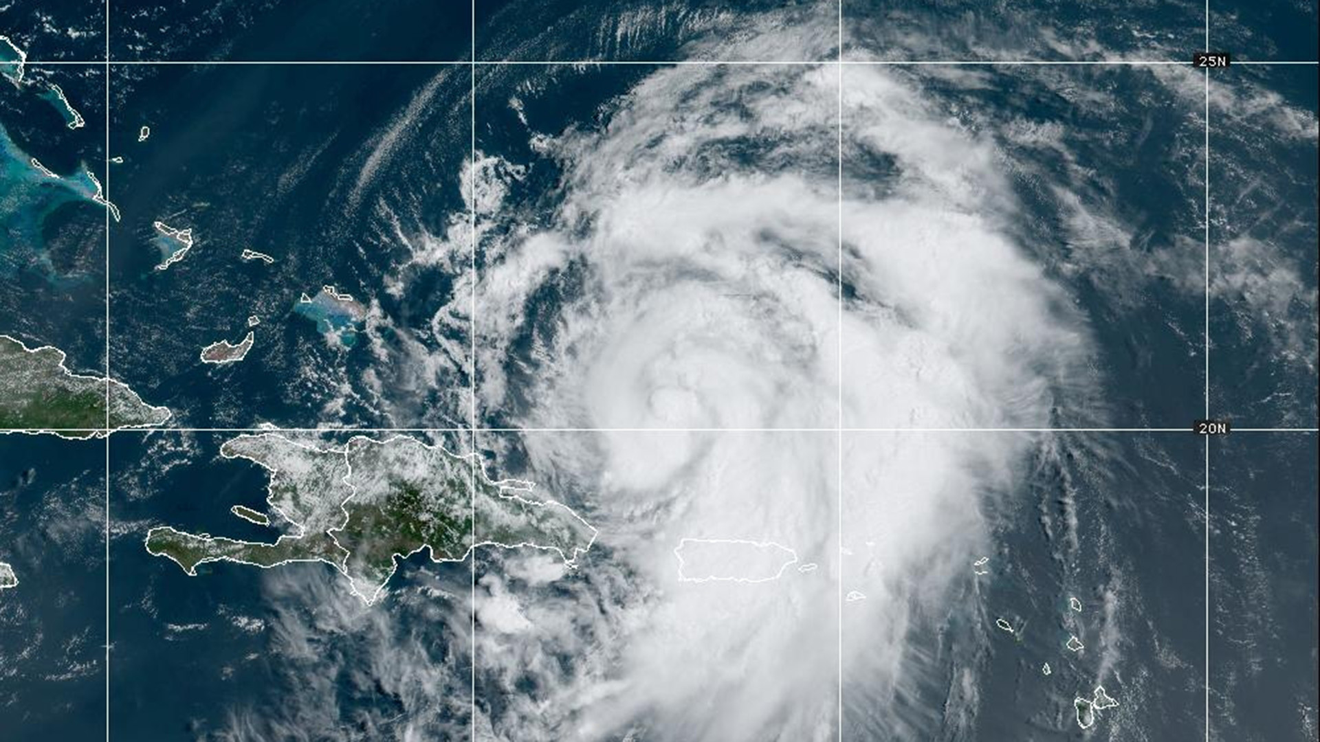
Dangerous rip currents will be sticking around through Sunday, thanks to Hurricane Ernesto spinning in the Atlantic. The morning starts cloudy with patchy fog.
Stubborn clouds moved in overnight and stuck around through the day, courtesy of a steady onshore breeze and a system over the great lakes that will be moving closer through your Sunday. Beginning Sunday evening to very early Monday, a slow-moving cold front will bring us several rounds of showers and thunderstorms.
STAY IN THE KNOW
Watch NBC10 Boston news for free, 24/7, wherever you are. |
|
Get Boston local news, weather forecasts, lifestyle and entertainment stories to your inbox. Sign up for NBC Boston’s newsletters. |


Monday will be wet at times with some showers lingering into Tuesday. While we might see heavy downpours at times, the risk of severe warnings is not very high.
Get top local stories in Boston delivered to you every morning. Sign up for NBC Boston's News Headlines newsletter.
By midweek, we’ll dry out with cooler-than-normal temperatures. Highs in the low to mid 70s for the most part. 80s will make a comeback by Friday and into the weekend, though the dry stretch from Wednesday on should hold.