Wednesday: Mostly sunny, some coastal clouds. Highs in the lower 40s.
Overnight Tonight: Chilly and mostly clear. Lows in the 20s.
Thursday: Wintry sun with a nippy breeze. Highs 35-40, wind chill around 30.
Friday: Wintry air, bright sky, quiet wind. Highs in the 30s.
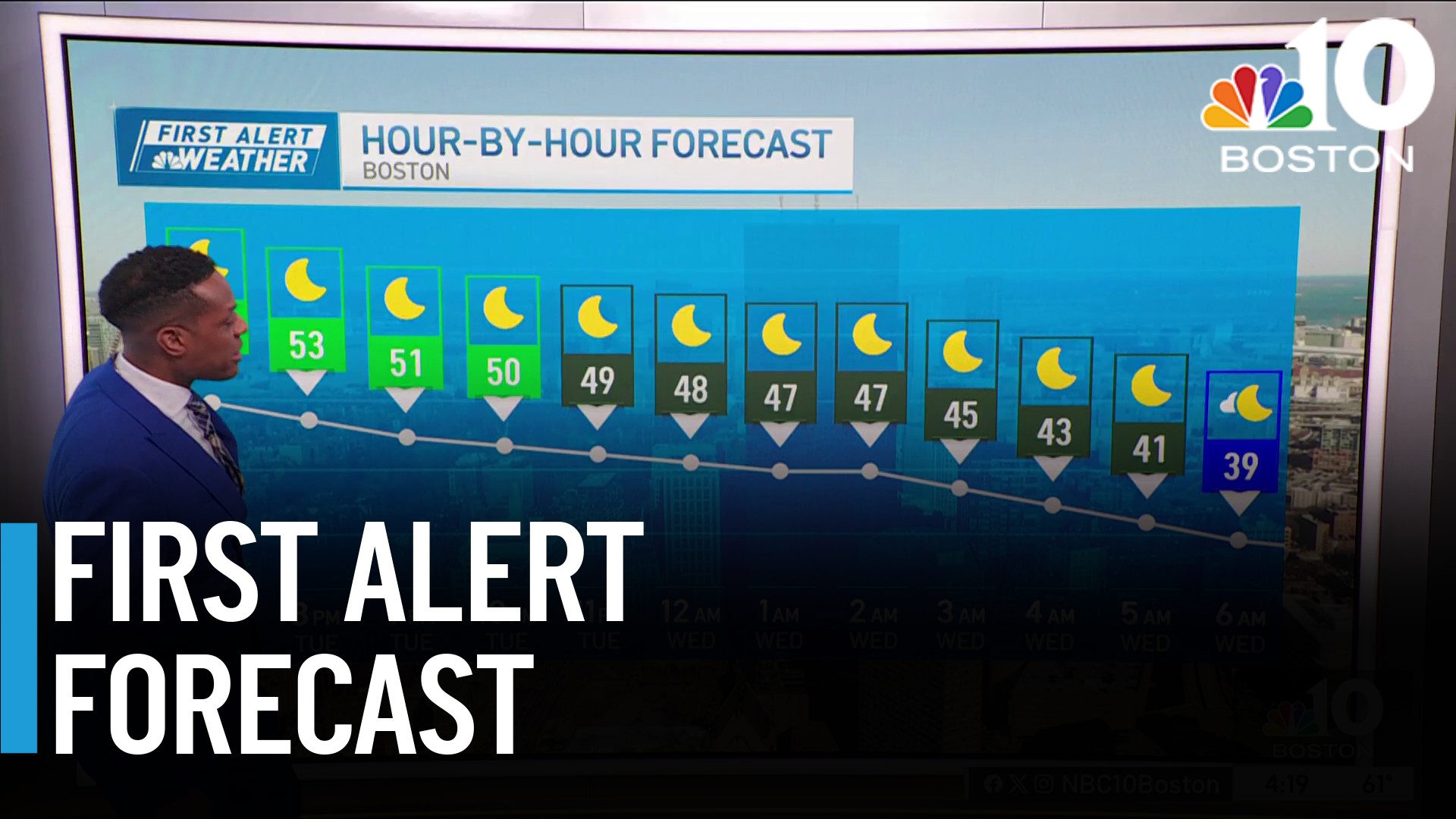
After an active start to the week, we will be able to enjoy a quiet stretch leading up to Christmas. A seasonably chilly start Wednesday morning with lows generally in the 20s.
Feeling colder from a northwest breeze around 15 miles per hour. Highs Wednesday rebound to the low 40s, staying seasonable. A mainly dry trough will move over New England Wednesday night, ushering a dry stretch through the end of the week.
WATCH ANYTIME FOR FREE
Stream NBC10 Boston news for free, 24/7, wherever you are. |

It will also usher in cooler temperatures — both lows and highs by Thursday and Friday. Winter begins Thursday, highs for the start of winter will be in the upper 30s. A frigid morning Friday with lows in the mid-20s.
Get updates on what's happening in Boston to your inbox. Sign up for our News Headlines newsletter.
Saturday a little push of moisture comes our way, mostly manifesting as cloud cover, but an isolated shower/snow shower is not out of the question. A dry and warmer Christmas Eve and Christmas Day coming. Highs for both days will be in the mid-40s.

Even warmer days by Tuesday and Wednesday, but our next rain chances enter possibly on Tuesday, more likely for Wednesday and Thursday.
Weather
Temperature wise, a generally warmer pattern will be with us through the first week of January. That's not to say there won't be cold mornings or afternoon, but it does decrease the odds of a big snow between now and then.


