Cold arrived Wednesday night with a fast-moving squall running through the Merrimack Valley and the North Shore.
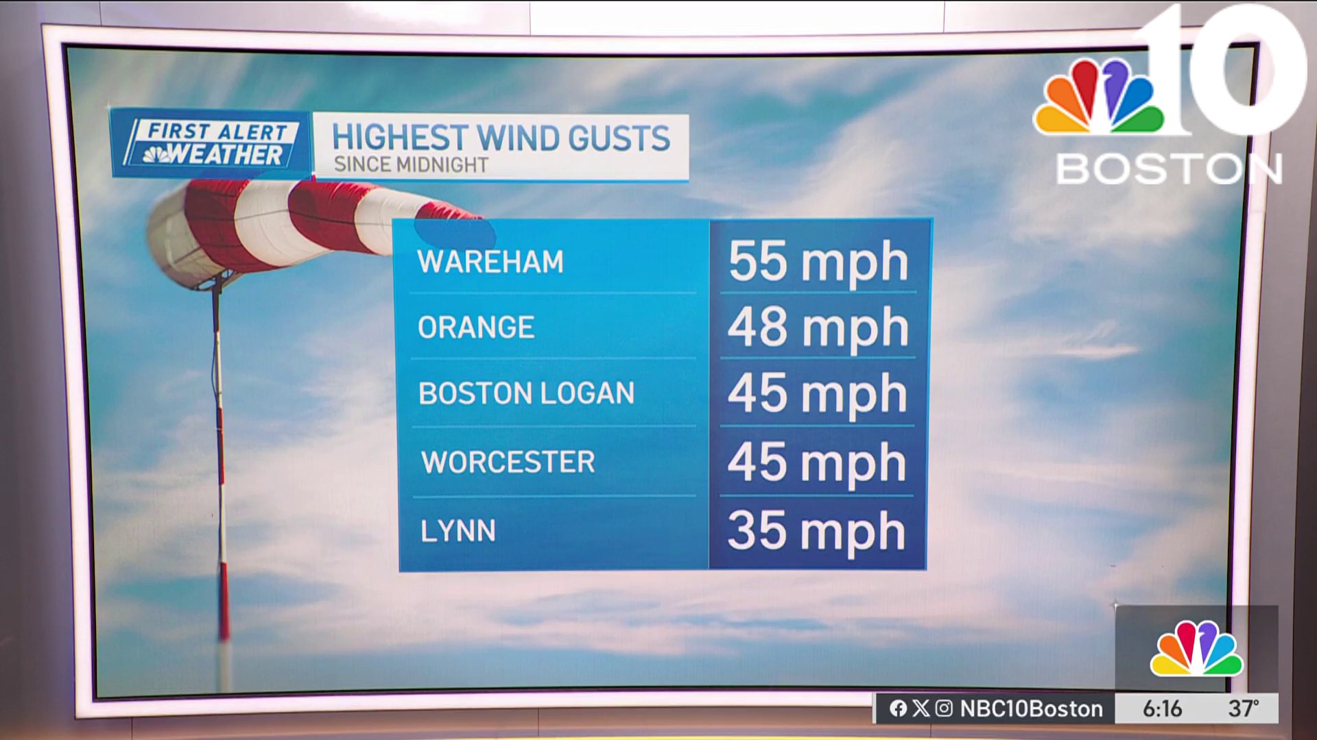
Clouds melted away and we're greeted to tons of sun with a brisk wind Thursday morning. Wind chills will run in the teens, but the breezes won't be very strong. This cold airmass is moving east quickly, so we're expecting the winds ease this afternoon.
WATCH ANYTIME FOR FREE
>Stream NBC10 Boston news for free, 24/7, wherever you are. |

Cold day equals cold night, right? Not quite. Temperatures stabilize in the 20s to near 30, then slowly rebound toward morning. We're already in the milder airmass by the time we wake Friday.
Get updates on what's happening in Boston to your inbox. Sign up for our >News Headlines newsletter.
With more sunshine on tap, plan on a knee jerk recovery with highs in the low 50s! We'll cool a smidge for the weekend as we eye a developing storm in northern Florida.

This one promises to bring us more wind and rain as cold air will be absent across the northeast, at least initially.
Weather
Some of the guidance suggests enough cold air could seep into the storm as it pulls away on Tuesday night/Wednesday. But will the storm weaken by then? If so, how much precipitation will be around to change over to snow? And could this just be marginal cold — just enough to mix in sleet and freezing rain?
Lots of question without many answers this early in the game. We'll be sorting it out in the days to come.
Stay warm!


