Today: Partly sunny with a gusty breeze. Highs in the lower 40s, feels-like the 30s. Thursday night: clear, cold, and breezy. Lows in the upper 20s.
The first weekday of a new month always brings a look ahead to the monthly forecast in our morning show on NBC10 Boston, simulcast on NECN, from 4 a.m. to 7 a.m. and with Dec. 1 the start of not only a new month, but also a new season, there’s plenty of attention on the upcoming forecast.
Things have changed when it comes to forecasting winter weather in New England – climate change has brought a rather dramatic, observable shift in how winter seasonal forecasts must be approached, and that’s just one of the topics our First Alert Weather Team will examine in depth in a half-hour climate change special, “Climate 2022,” airing Thursday evening at 7:30 p.m. on both NBC10 Boston and NECN.
WATCH ANYTIME FOR FREE
Stream NBC10 Boston news for free, 24/7, wherever you are. |
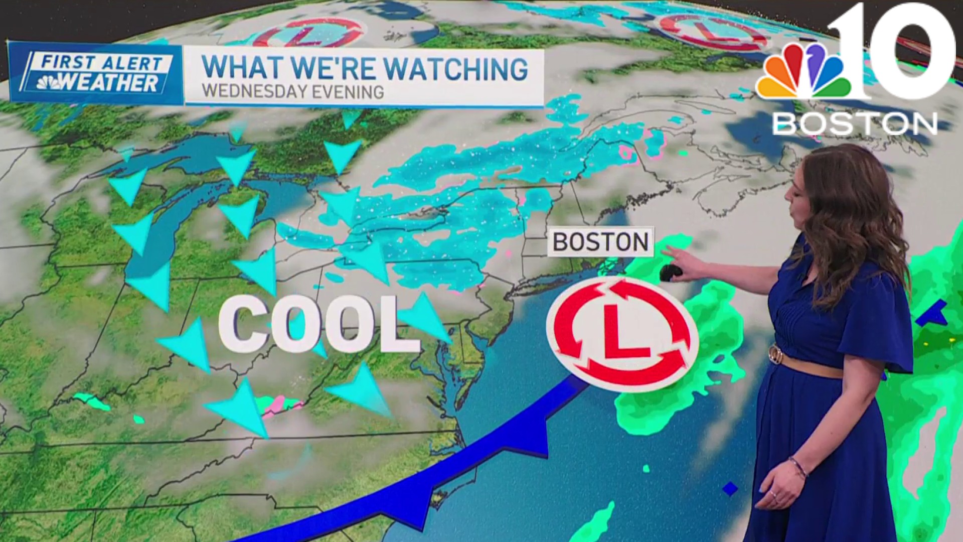
Changes to the forecasting approach notwithstanding, Thursday’s look ahead to December came complete with hope for winter and snow lovers, even if no imminent storm threat is on the table. Of course, right now New England continues in the throes of a pattern that’s only been able to deliver chilly air when it’s dry, warming repeatedly each time a storm approaches – and there’s good reason for that: the presence of a persistent, upper level storm packed with cold air over Central and Northern Canada has meant a storm track on the southern periphery of that cold, tracking across Southern Canada through Ontario and Quebec. This has resulted in a series of warm and windy storms of mostly rain for the Eastern half of the United States, with frequent storms off the Pacific Ocean able to work with enough cold air for repeated heavy snow in the mountains of the Western U.S., but unable to reshape the jet stream winds aloft to sink farther south in the East.
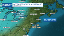
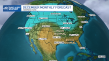
The signs of changing that pattern are showing up even at the end of our First Alert 10-day forecast, with the large, swirling mass of cold air in Canada set to do two things: expand and drop slowly southeast. This nearly ensures the pattern in the Northeast will turn markedly colder – from the Great Lakes to New England – for about a week and a half starting around Thursday, December 8. It’s worth noting while this likely flip to colder-than-normal temperatures certainly raises the chance of snow getting involved with storms, it’s not a guarantee – storms may still carry enough warmth for Southern New England, in particular, to end up wet instead of white – but there’s no denying the foreseen mid-month pattern at least puts a much greater chance of wintry weather on the table, especially for Northern New England. Temperatures in Boston average a daily high of 42°F and a low of 29°, so the combination of a warmer-than-normal pattern for the first week of the month, a likely colder-than-normal pattern for about 10 days after that, and oscillations either side of normal in the second half of the month have our team leaning toward a “near normal” temperature pattern in December.
Get updates on what's happening in Boston to your inbox. Sign up for our News Headlines newsletter.
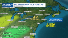
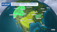
December typically is a “wet” month – in quotations because this time of the year, precipitation is counted as all melted precipitation, rain and the amount of liquid when any snow is melted – with over four inches of precipitation typically falling over the 31 days, with nine inches of snow. At this point, we’re predicting near-normal values of both precipitation and snow for most of New England, except Cape Cod, where we’ve leaned drier-than-normal. That said, this precipitation forecast is akin to threading a needle – with the changing jet stream pattern, it’s possible we find some opportunities for snow, but admittedly, it’s also quite possible disturbances that could trigger storms in this pattern miss by a narrow margin, leaving a snow drought – we just think there is an active enough jet stream and, for a time, enough available cold air that even one or two organized events could achieve the normal snow. As for precipitation, we expect when storms do develop, they will tend to have northern displacement, putting heaviest precipitation amounts in interior Southern, Central and Northern New England, which is why we keep the Cape a bit drier.
What about the remainder of the winter? Tune into Climate 2022 at 7:30 PM Thursday evening on both NBC10 Boston and NECN to get an idea for the modern, changed winter weather pattern, and I’ll follow up Friday morning with a post about the rest of the winter season!
Weather
Be prepared for your day and week ahead. Sign up for our weather newsletter.

